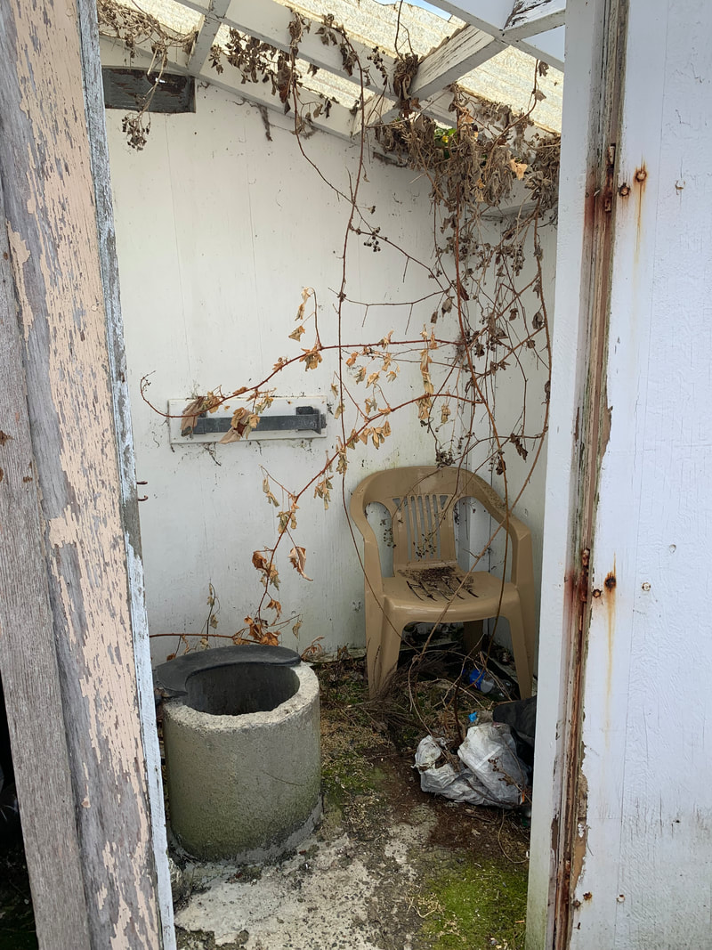
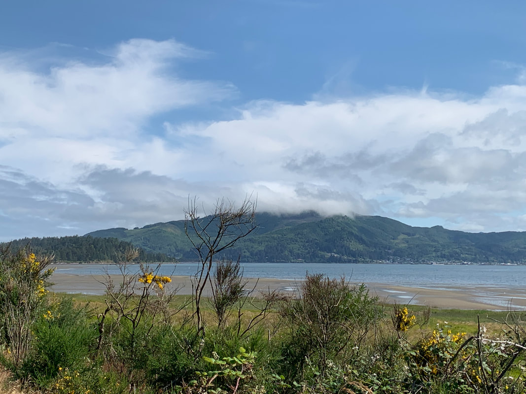
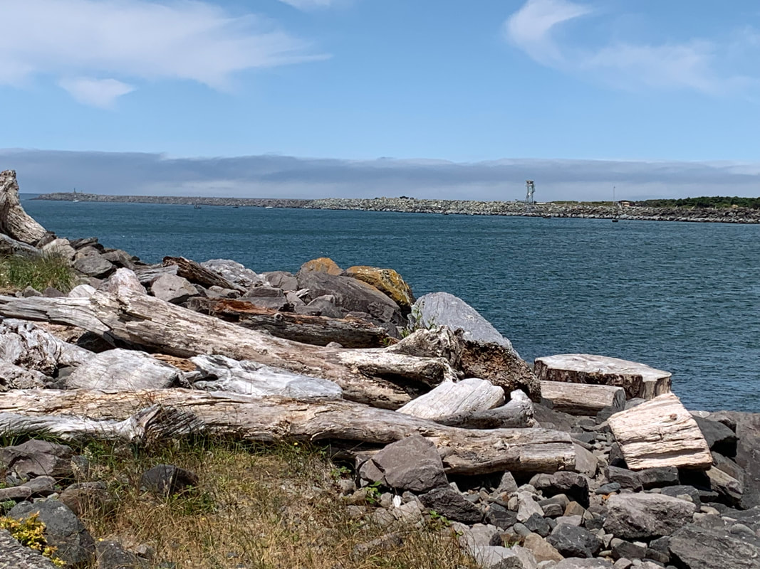
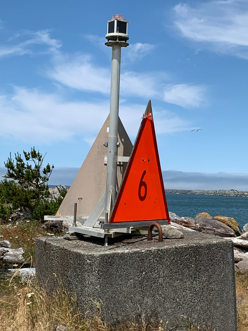
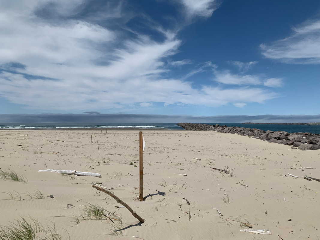
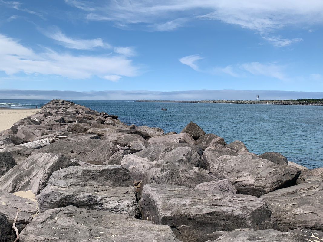
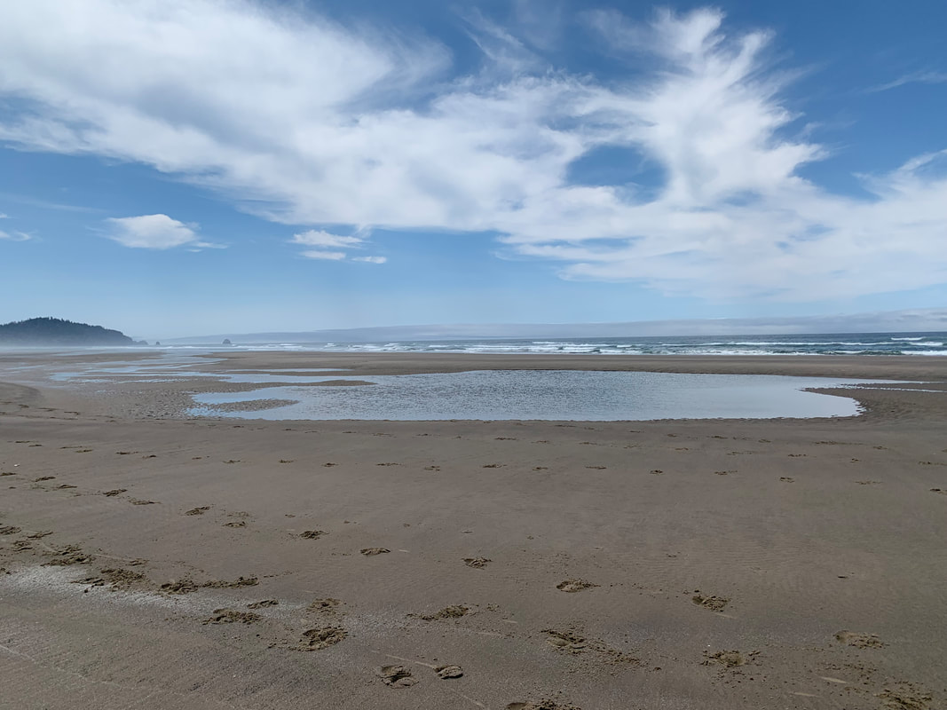
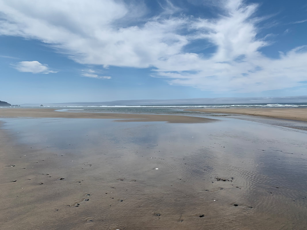
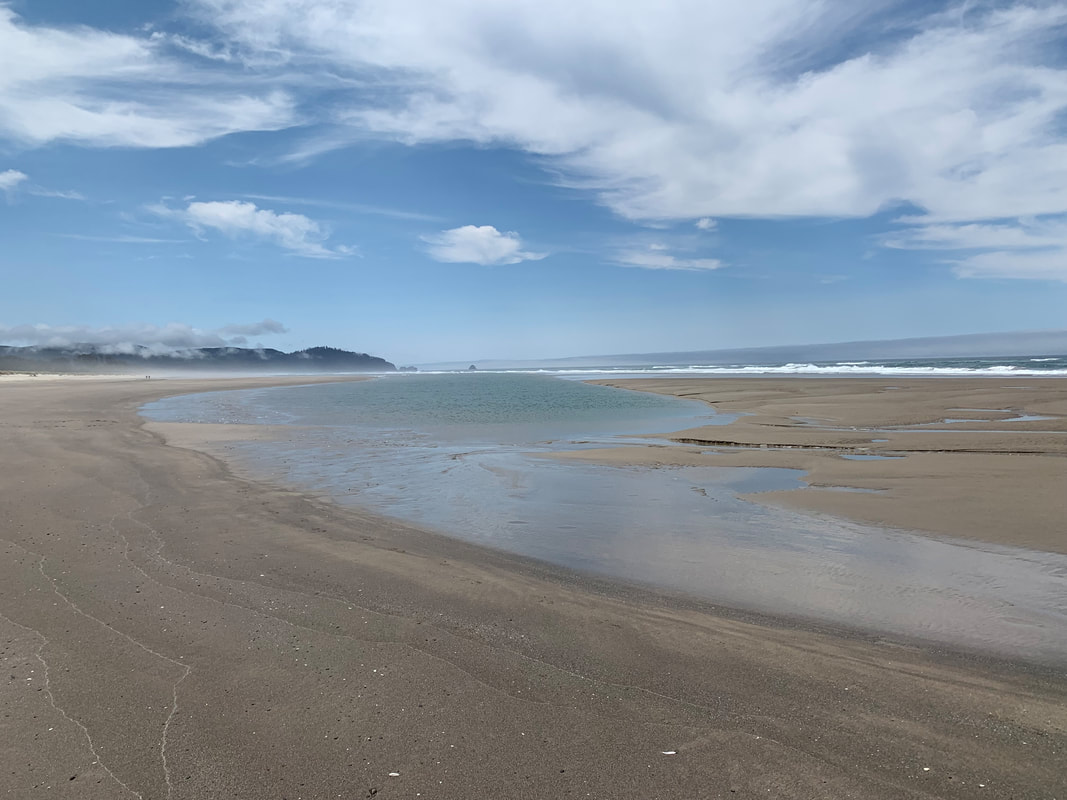
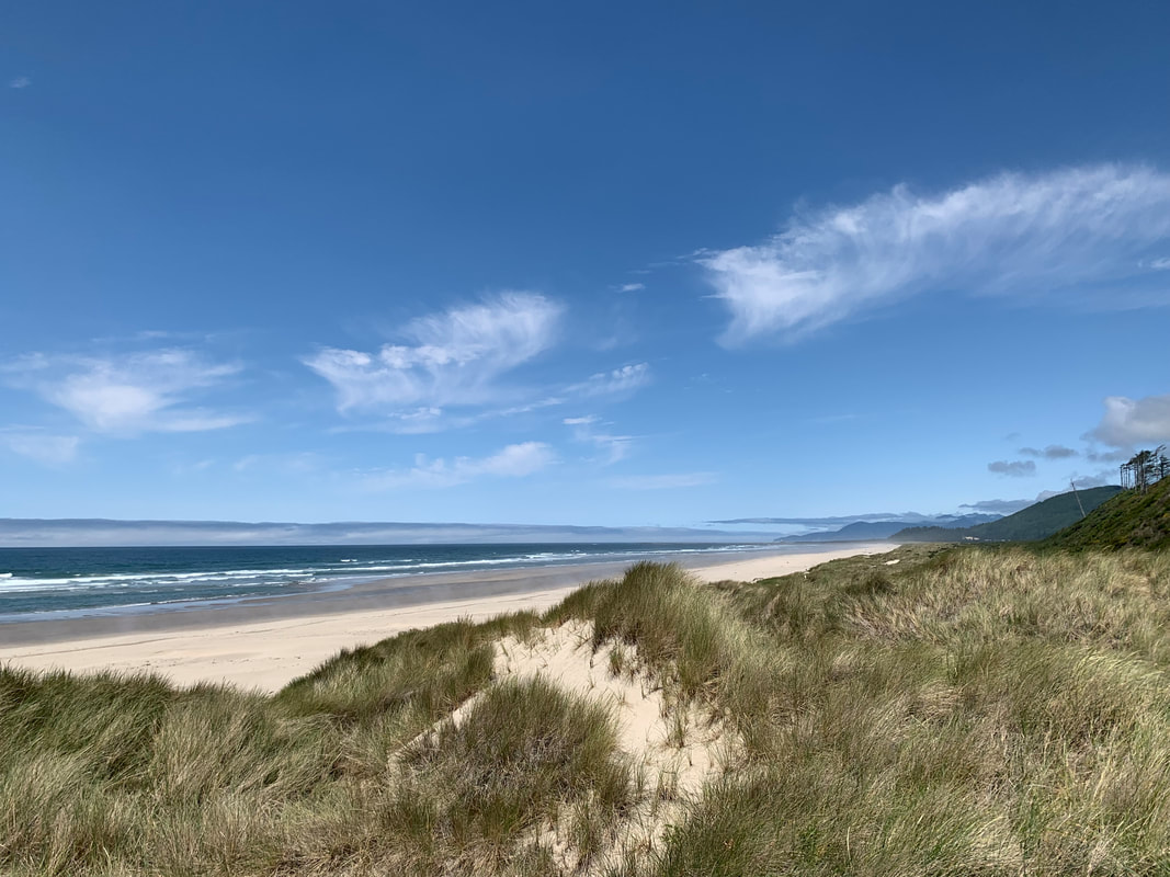
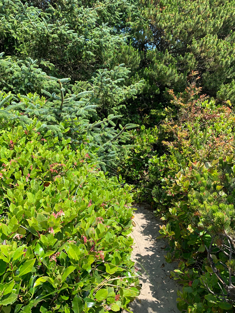
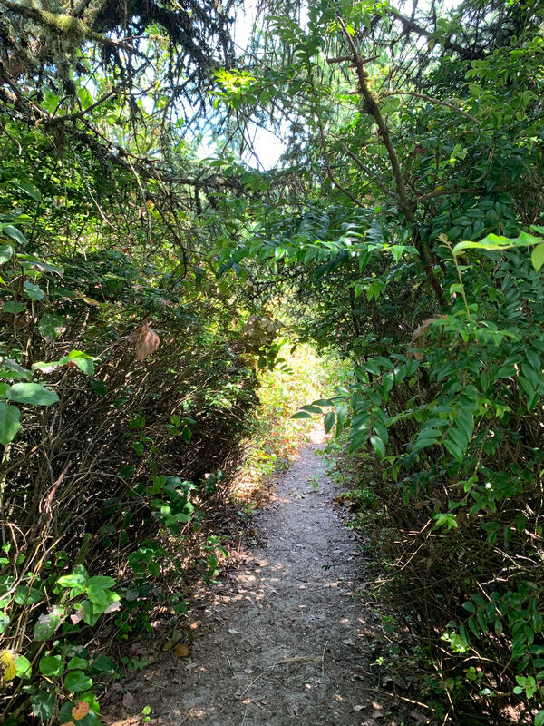
Bayocean Peninsula ParkOn June 26, 2023 I hiked the Bayocean Spit Loop Trail. It is a spit that borders the east side of the Tillamook Bay. The hike around to the entrance into the bay and then the hike along the beach heading back to the TH was so peaceful and breathtaking. The area has a fascinating history too as told by OPB on Oregon Field Guide, 'The Lost City of Bayocean' It was once to become a thriving community, a destination resort. 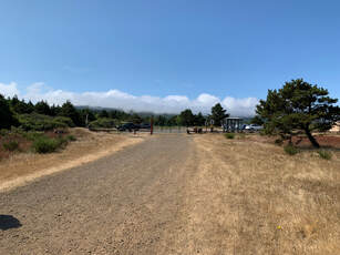 The trail begins on a gravel road. This is looking back at the Trail Head. Not too far down the trail there is a sign with information about Bayocean with side trails going to where the town used to be. I didn't go this way. 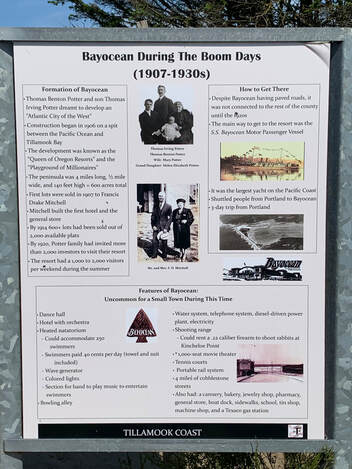 The first part of the trail follows the edge of the Tillamook Bay. We saw sea Birds and the wet sand left by the receding tide. The hike is gorgeous and peaceful. The only restroom along the trail is very neglected. This was the inside of the men's room. There was no odor since it is well ventilated. A view looking towards the bay and the other side towards Bay City. The way the boulder was placed with the etching of a square, it looked like an entrance to the town or a building. I thought it was cool. 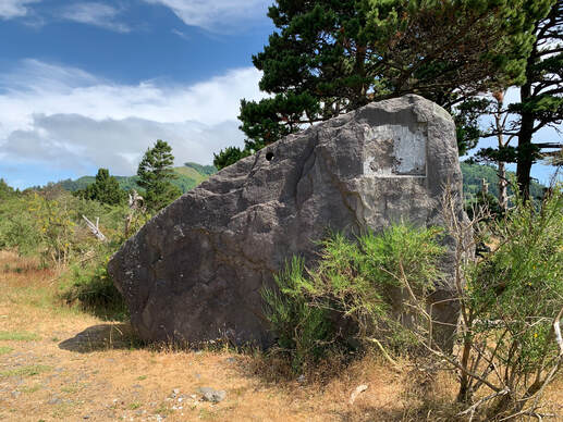 The trail is mostly gravel but there are rocky sections and rocks and sand and sandy sections. This was a sinkhole. one of two along the trail. It makes sense when you realize that the old city was destroyed, burned or dismantled and buried under 10 feet of sand. 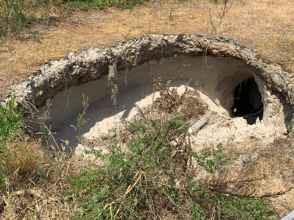 My favorite part was reaching the jetty and looking into the bay and where it meets the ocean. Jetty's are amazing to me. The giant rocks used to build a jetty. The driftwood is when we encounter the sand and rocks. The sand is along the jetty. I took a picture of the rocks used to build the jetty. Parts of the beach are closed off due to nesting of shorebirds. You can still access the beach just not certain areas of the sand by the beach. We had lunch by the jetty, sitting on old driftwood logs and watching the seagulls and other birds on the bay. My favorite part of the walk was along the beach. (Having just done the OCT section hiking beach walking is my new passion). So I took lots of beach photos. Ienjoy seeing how the ocean encroaches on the sand forming small inlets and pools. We found the trail back into the headland. It isn't always easy finding the trails off of the beach. We had to climb a very sand dune to get back onto the upper part of the trail. I slid back and had to cling onto some of the sedges and taller grasses to pull myself up. The trail quickly dove into an understory of pines and tall shrubs which I found enchanting. And then this trail connected to the main gravel trail and we headed back to our vehicles. I hiked with a Meetup Group. The PacNW 60+ Adults Hiking and Walking.
I find myself joining meetups and walking clubs through the American Volkssport Association a terrific way to keep walking and hiking, and meet people who become good friends.
0 Comments
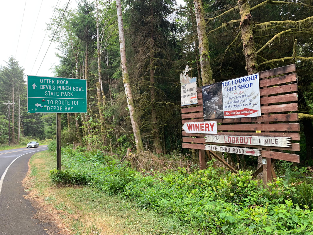
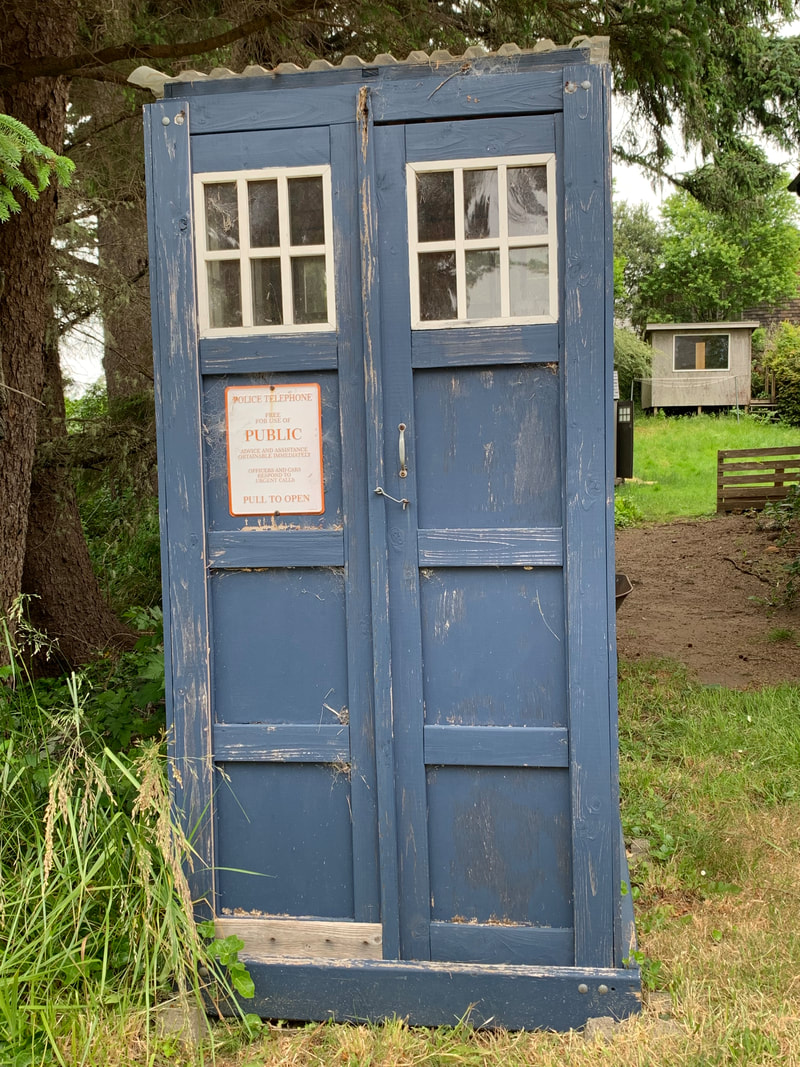
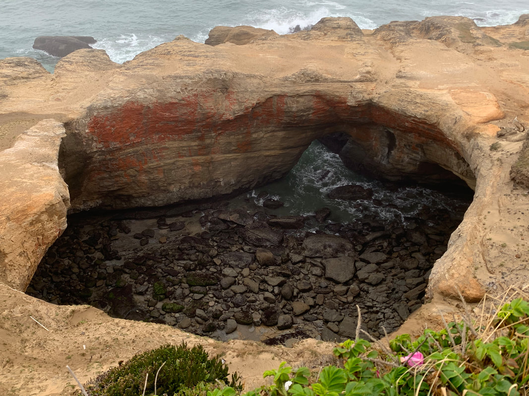
Oregon Coast Trail (OCT)June 13th- June 16th I had the opportunity to do a section of the Oregon Coast Trail with a friend who I know through volkswalking. We began at Depoe Bay at Ellingson St. and hiked for four days to Yachats.) Our trip began when my friend's husband drove us to Depoe Bay and we had breakfast at the Whale Bites Cafe. The 'trail magic' could be felt right away when a customer was gently singing and playing his guitar at the table. It was the older music and after he was done we talked to him and wished him well on his journey to visit his family. My friend and I shouldered our backpacks and were surprised to find the street we needed, Ellingson St, was directly across the street from us. We had hiked less than 2 blocks when a guy in a van stopped alongside of us all eager to hear about how long we'd been hiking. When we said literally a block he wished us well and drove off. I think he was expecting some amazing trail story! 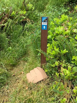 Our first OCT Trail sign Walking along the powerline trail next to the highway was a bit rough but we were excited to be on the OCT. We did get to look at Whale cove and did see seals resting on the rocks. 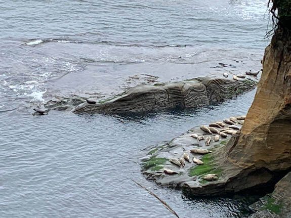 This was the bridge over Deadhorse Creek I think. We were at a small viewpoint looking back. 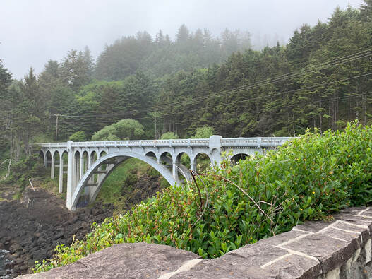 We saw many natural holes in rocks along the shore. 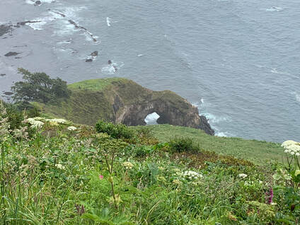 Finally we were on our way to Devil's Punchbowl. It was great to find the signs leading to Devil's Punchbowl. The blue phone booth was actually an old 'Police Telephone for the public. Devil's Punchbowl which looks much smaller than it actually is in person.
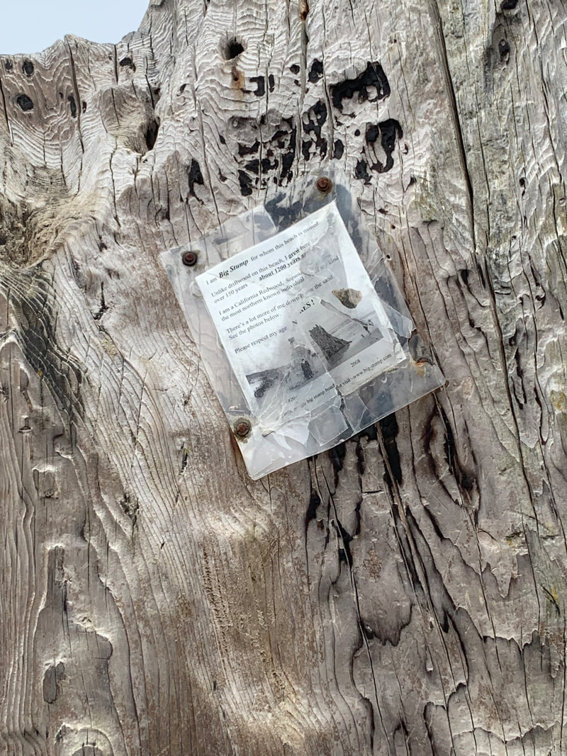
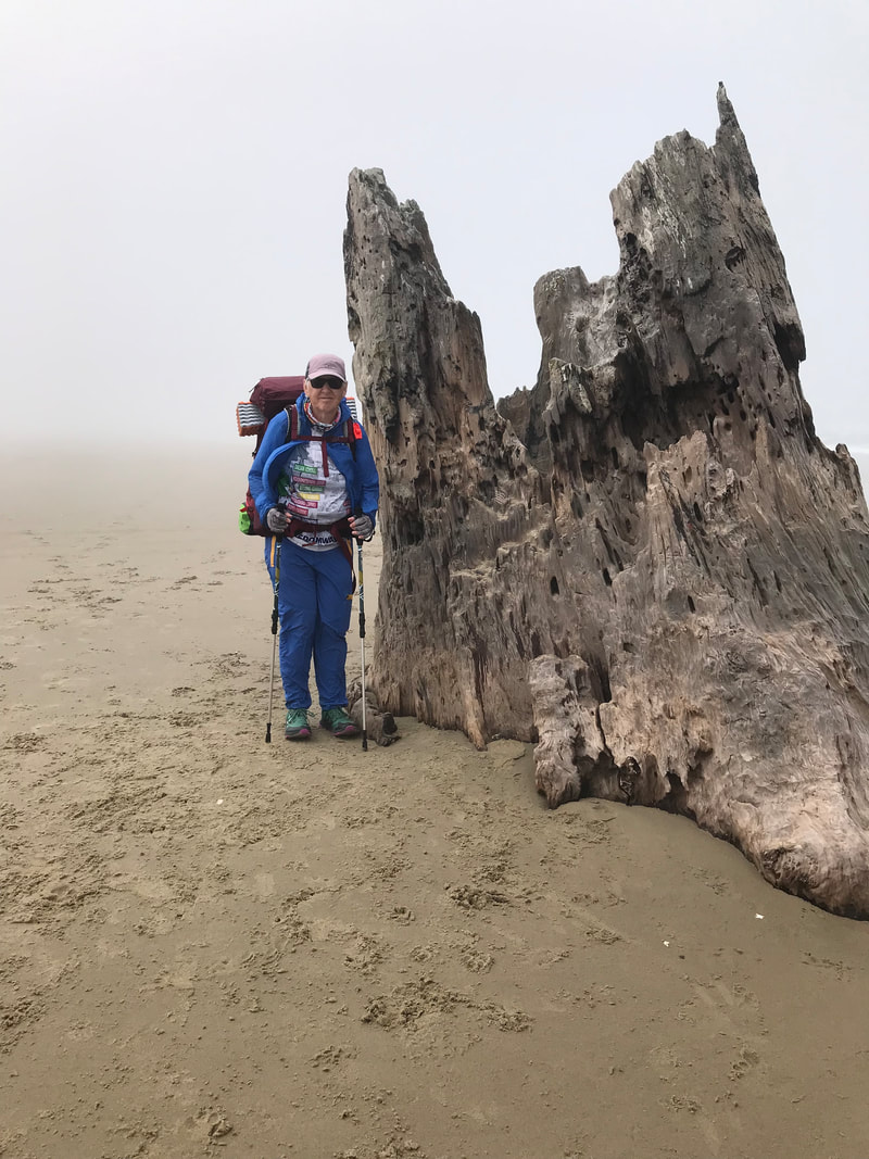
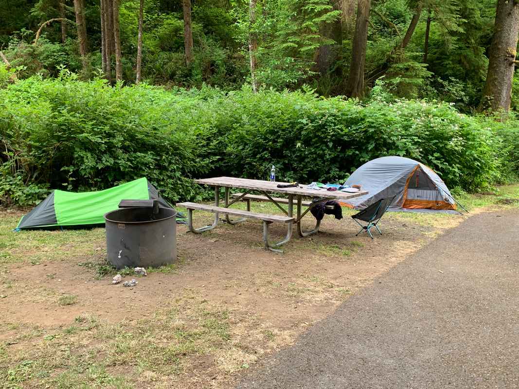
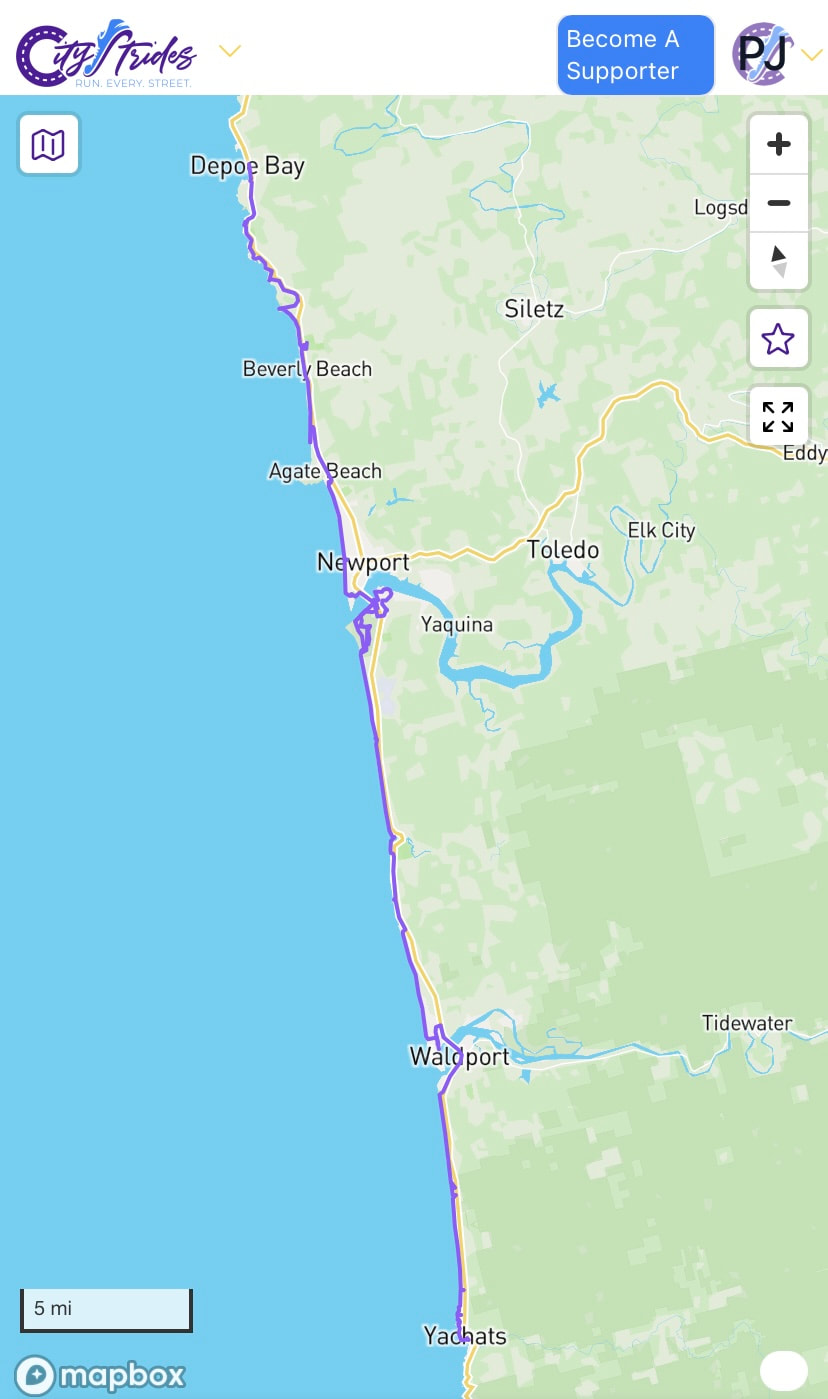
We hiked 8.61 miles ended our day at Beverly Beach at the Hiker Biker campsite. We met a few OCT h ikers and some bike riders. The campsite had hot showers and lockers and a recharging station. Picnic tables too. The only minor complaint was having to walk uphill to get to the camp. Great 1st day of the section Hike. (I have been diligently working on this 52 Hike Challenge and it's been a really positive experience thus far. June 13th- June 16th I had the opportunity to do a section of the Oregon Coast Trail with a friend who I know through volkswalking. We began at Depoe Bay at Ellingson St. and hiked for four days to Yachats.) This was the last day of our section hiking. We began from the Alsi Resort where we spent the night. We had to cross the bridge into Waldport crossing the Alsea Bay. The tide was not at high tide yet, so we saw the sand and the harbor seals on the sand along the bay. We saw a young seal nursing. 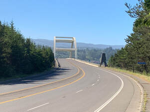 Bridge heading into Waldport 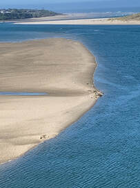 Harbor seals at low tide in the Alsea Bay We stopped to eat breakfast at the Flounder Inn Tavern. It was a tavern and a bit of a greasy spoon but they served a decent breakfast for two hungry hikers. Of course a bit out of town we came across the Hilltop Cafe-Bistro which would have been preferable. We again caught up with another OCT hiker who we met on the first day of our hike. That is something I did learn, that even though you are hiking alone or with someone you meet other hikers and see them off and on throughout the hike. Many a mile along the beach sections we followed in his footsteps. We walked a bit along Hwy 101 and then got back on the beach at Governor Patterson Memorial State Park. We were on the beach all the way to Yachats. There was a heavy layer of fog for the first part of our beach walk. At one of the creek crossings we saw an eagle just standing in the creek we had to cross. 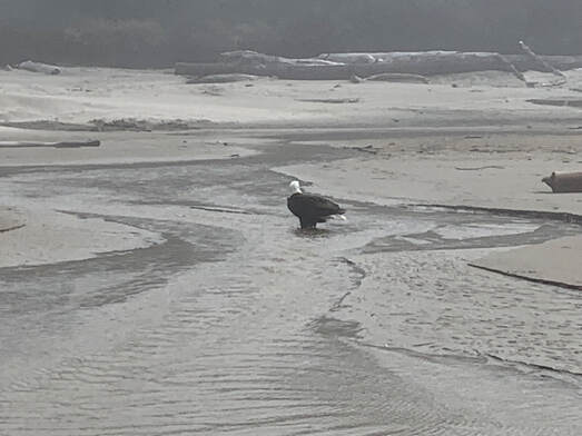 This stump appeared out of the fog. This stump started it's growth 1200 years ago but lived for 150 years. It is a California Redwood. It is one of many ghosts forest relics from the past. Here is a better write up about the big stump. We crossed a few smaller creeks emptying into the ocean and then we had to take our shoes and socks off to cross Reynolds Creek. It was over our ankles. Soon we arrived in Yachats and I admit at this point all I could focus on was the Green Salmon coffee shop but I looked on Google and it had closed about an hour earlier. We were walking along the multi path through Yachats and I asked a young couple if they could recommend a place to get coffee. I really wanted a latte. They were not so helpful but then a few minutes later the woman caught up to us and told us about the ice-cream and candy shop across from the green Salmon. So we stopped there for coffee and ice-cream. We had a campsite at Cape Perpetua State Park. We had already hiked 11.6 miles for the day. We decided to try to get a ride to our campsite. We got lucky when an employee at the candy shop said he could drive us. This was the end of our section hike. We wanted to leave our hike on a high note. We will return and hike Cape Perpetua. For now we spent the night at the campground and finished 46 miles of hiking over 4 days. Our final campssite at Cape Perpetua and the map of the section of the OCT we completed (from City Strides website)
|
ScoutI am an avid walker and hiker. My favorite is a long hike. I also enjoy taking off and going on a meandering walk for a few hours. I've hiked rim to rim in the Grand Canyon and I did 3 Burning Boot Walks on Vancouver Island. Archives
August 2023
Categories |

- About
- Home
- AGING & HIKE/WALKING
- Blog
- Books
- Bridges
- Calendars & Events
- Competitive Walking
- Contact Form
- Flaneur
- Gear
- Hiking with Kids
- Indoor Walking
- Labyrinth
- Long distance hiking
- Nature
- Nordic Walking
- Orienteering
- Pilgrimage
- Rucking
- Seek and find while walking
- Stairs
- State Info
- Training & Health
- Volkswalking
- Walkability
- Walk - Hike Resources
- Walking history
- Walk, Roll, Stroll
- Walking info history
 RSS Feed
