Second section hike of the OCT (Oregon Coast Trail) |


 |  |
.
My friend Bob, had never hiked on the PCT before and he had this vision of section hiking the PCT in WA, eventually doing the entire PCT.
We've walked together before on long hikes so he asked me if I was interested in doing this with him. I said yes.
Why Now?
Every year in September the AVA fund raises and is part of the Big Give. The AVA tries to raise enough money through donations, campaigns and match donations.
Bob and I along with his dog Panda are hiking the PCT and asking people to pledge money to support the AVA.
We are calling this The Big Walk.
We hope to raise money to keep the AVA organization strong.
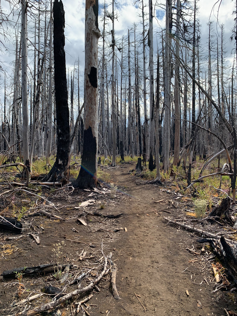
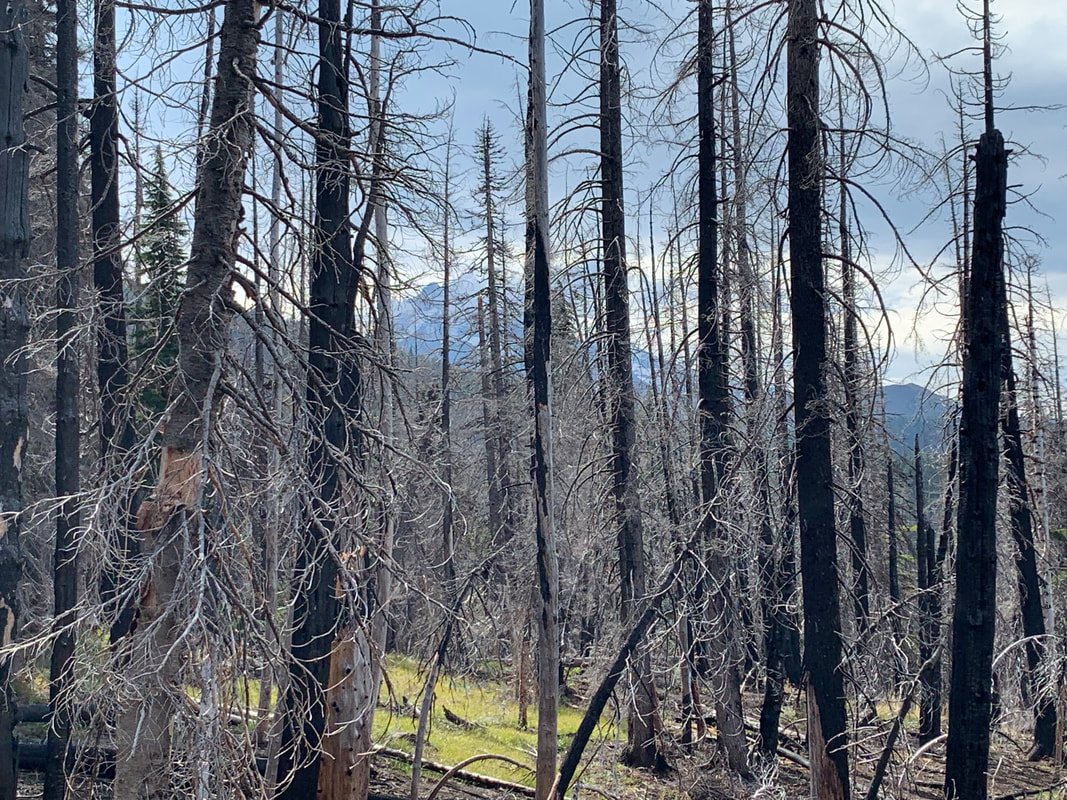
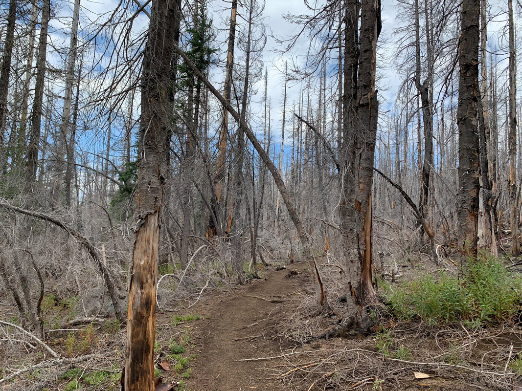
So that's why we decided to section hike the PCT. It may take us a few years but it is a worthy goal. So far my 'take' on the PCT is it is as stunning as it is brutal!
My friend Bob, had never hiked on the PCT before and he had this vision of section hiking the PCT in WA, eventually doing the entire PCT.
We've walked together before on long hikes so he asked me if I was interested in doing this with him. I said yes.
Why Now?
Every year in September the AVA fund raises and is part of the Big Give. The AVA tries to raise enough money through donations, campaigns and match donations.
Bob and I along with his dog Panda are hiking the PCT and asking people to pledge money to support the AVA.
We are calling this The Big Walk.
We hope to raise money to keep the AVA organization strong.
So that's why we decided to section hike the PCT. It may take us a few years but it is a worthy goal. So far my 'take' on the PCT is it is as stunning as it is brutal!
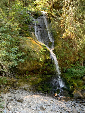
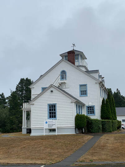
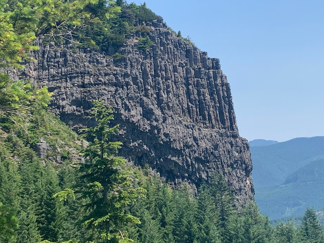
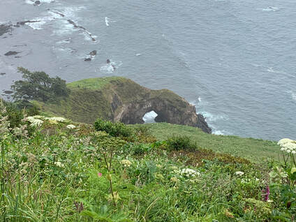
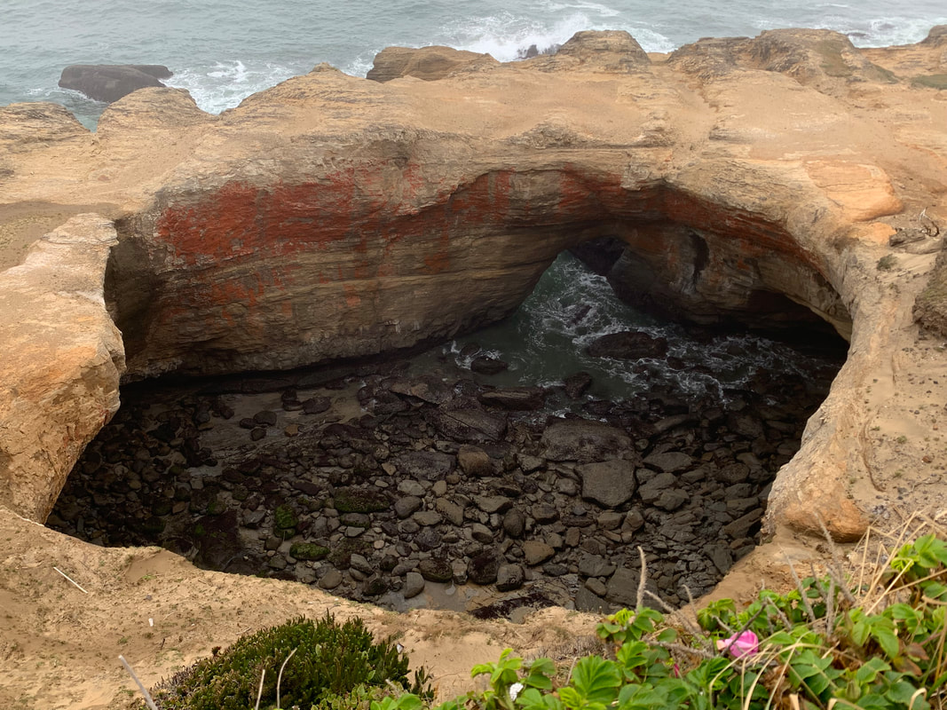
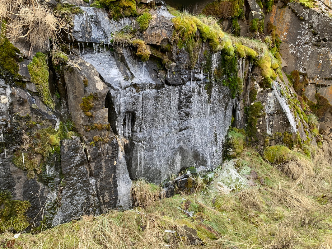
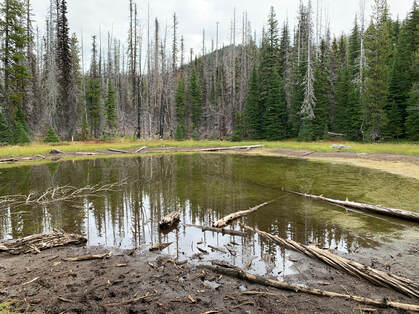
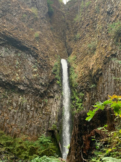
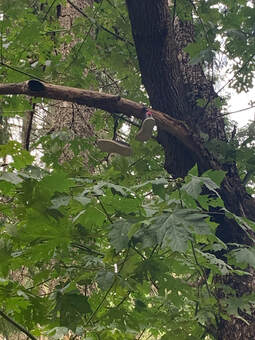
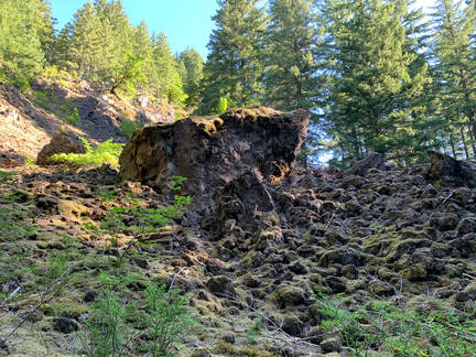
I confess I do not know the name of these falls but they are on CG2000 Rd. It seems to be a popular area for folks to access by car.
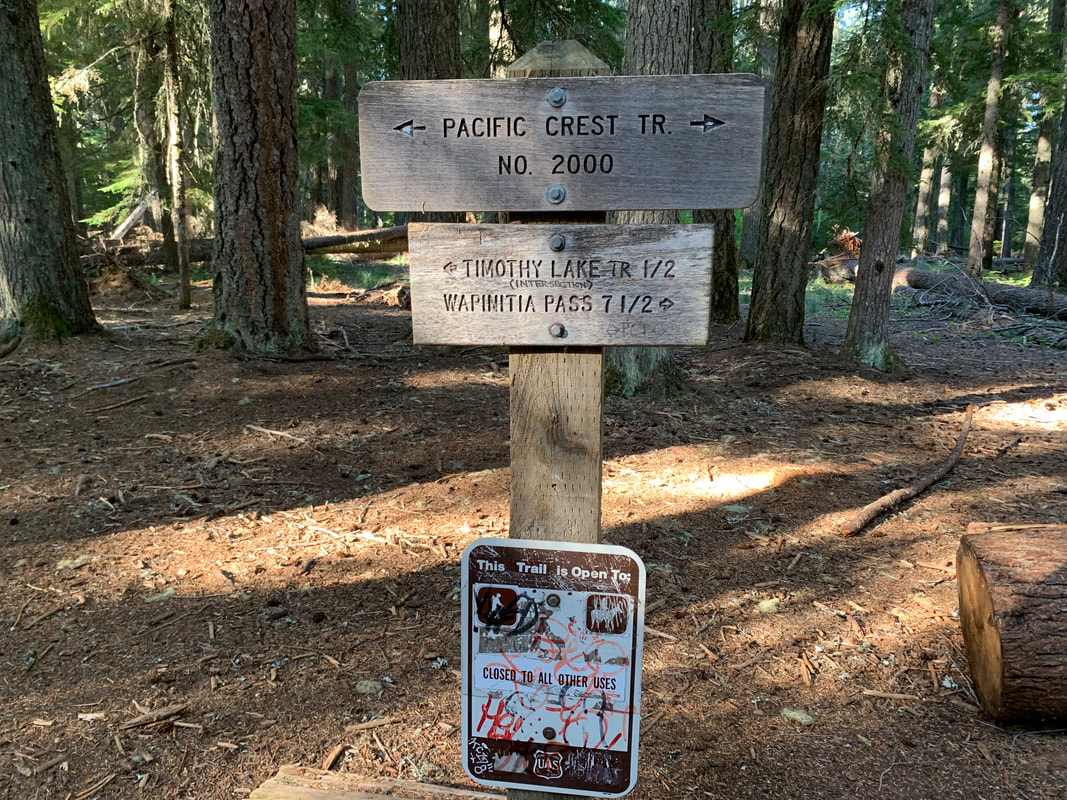
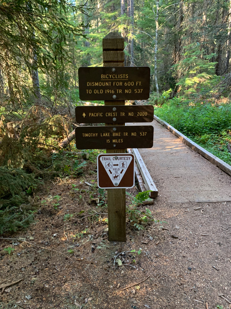
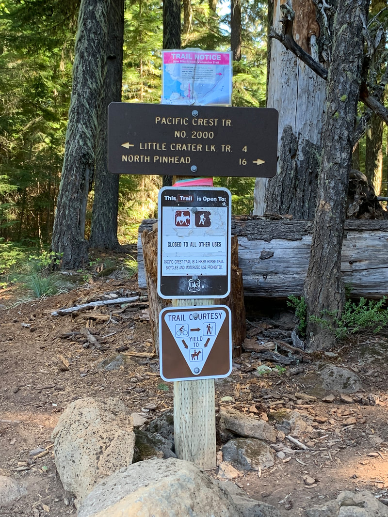
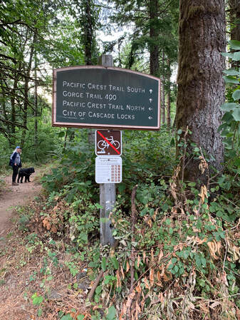
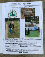
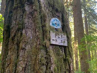
On Aug 14th Bob and I went back to hike from Rock Creek Rd to Panther Creek Campground. We were able to skip the first mile and a half of the PCT by parking on CG2070 which crosses the PCT.
On Aug 14th Bob and I went back to hike from Rock Creek Rd to Panther Creek Campground. We were able to skip the first mile and a half of the PCT by parking on CG2070 which crosses the PCT.
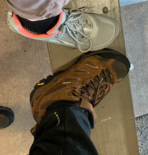
A side note we both bought new shoes to hike in. Bob bought Merrell hiking boots and I went back to the Lone Peak trail shoe. The newer models do not have the velcro to attach the Dirty Girl Gaiters to. I don't know why Altra discontinued that on the new model of the Lone Peak.
This time I brought along a walking stick that I have had since the 1980's. Something that my exhusband found on one of our backpacking trips and he stained the wood and put a rubber cap on the bottom. (I only dropped it seven times while we hiked!). When we were dating and I was on a seven week trip to Alaska, Harry attempted to section hike the PCT around Kennedy Meadows. His feet were blistered and a doctor told him not to do the hike so he never did get back to the PCT, I used the stick and liked to think he appreciated that I am doing this hike.
I also wore my tee shirt from my walk relay team, The Vintage Whine Walkers. Our team captain is very energetic and involved in many activities but feels thru-hiking the PCT is beyond her reach now. It feels like she is hiking with me when I wear the shirt. (She and I watch America Ninja Warrior when it's on and we text each other during the show since we are not watching it together).
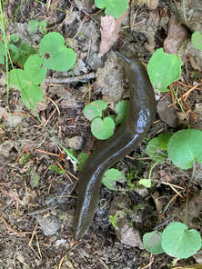
Not 100% sure but I think this is a banana slug. We saw many of these along this section of the PCT.
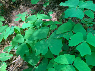
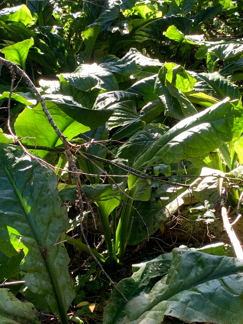
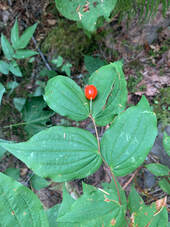
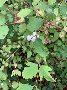
Slowly some of my knowledge of identifying plants is returning to me. This is Vanilla Leaf also called Deer Foot.
This segment was much easier, thus more enjoyable. Our total elevation gain for the hike was 2368 ft.
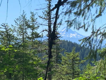
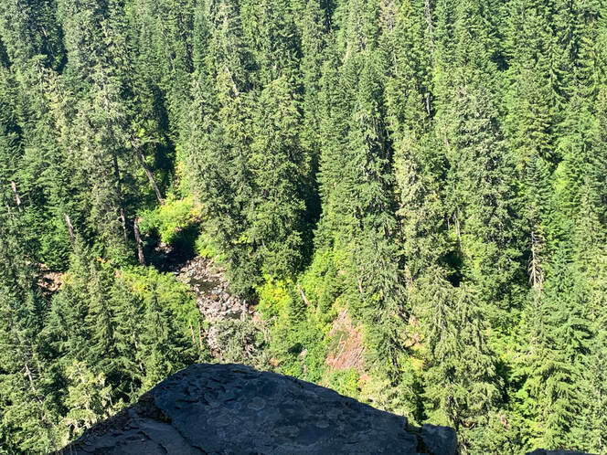
There was a break in the trees and we got a view of Mt. Hood. Then we hiked and found an amazing viewpoint looking way down into a ravine with a river. There was a rock outcrop that was perfect for sitting on and eating our lunch.
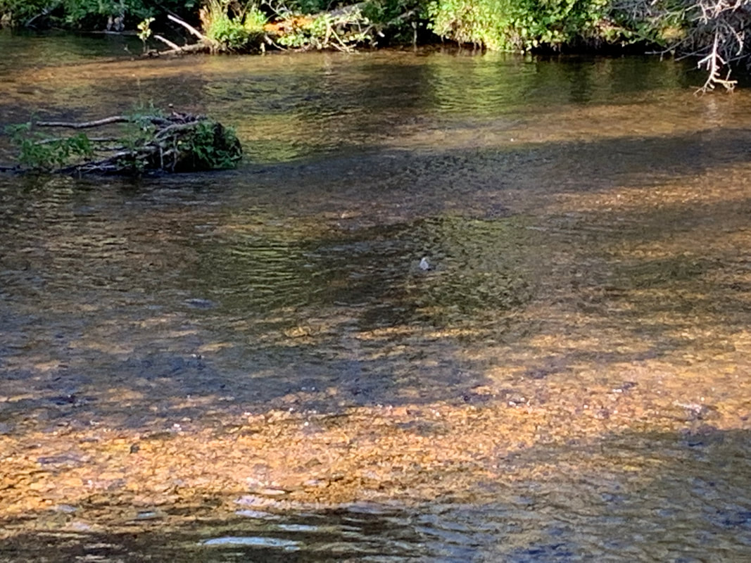
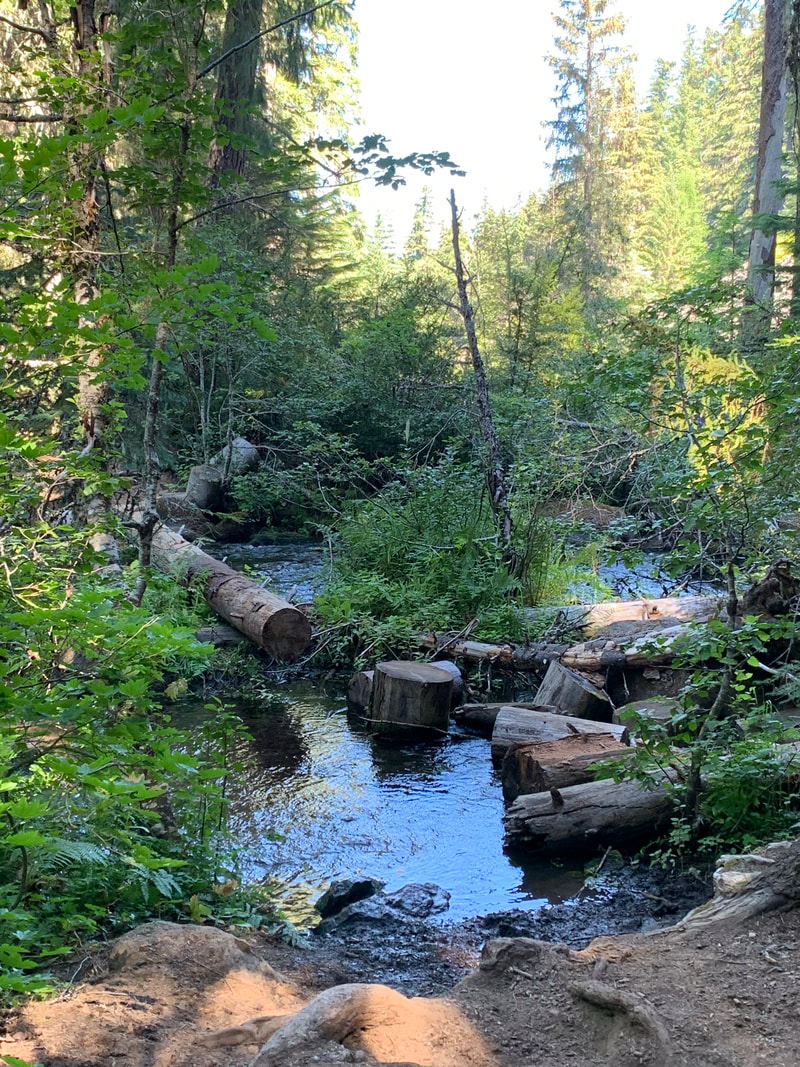
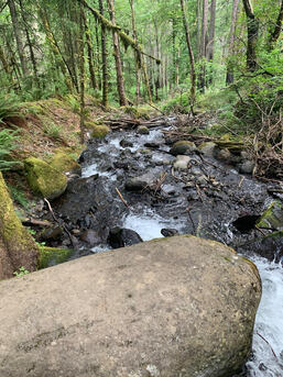
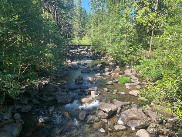
After lunch we continued hiking and came across NB thru-hikers who told us about trail angel magic at Trout creek. The word gets passed up and down the trail and the hikers hike a little faster to get to the trail angels before the food and drink runs out. I don't recall their names but they too had thru-hiked the PCT in a previous year. Below is a photo of Trout Creek.
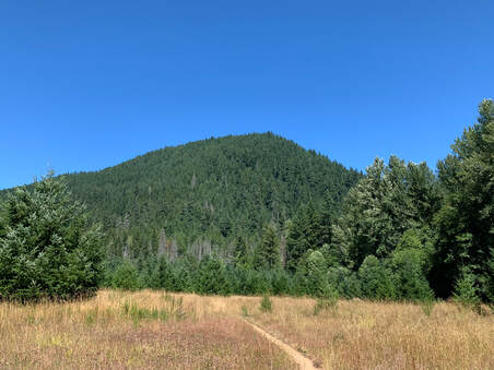
This is a photo of Bunker Hill. I have previously hiked to the top
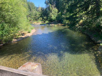
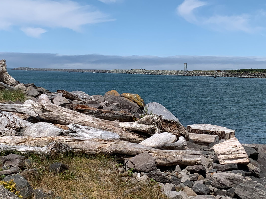
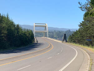
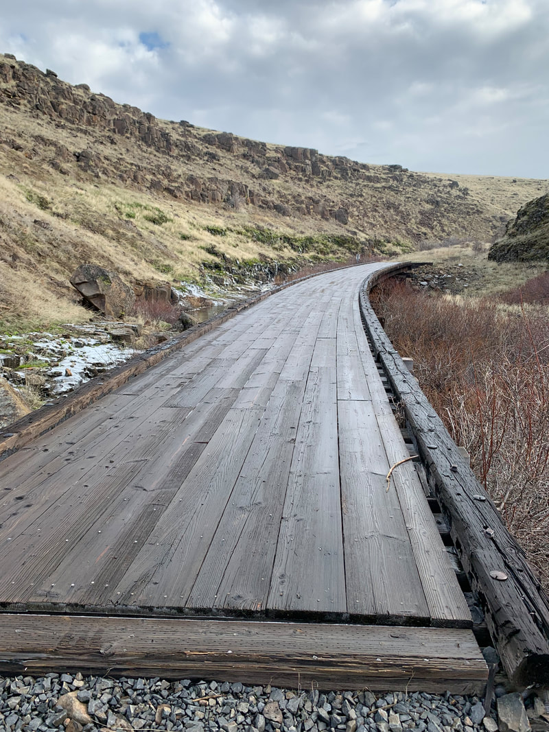
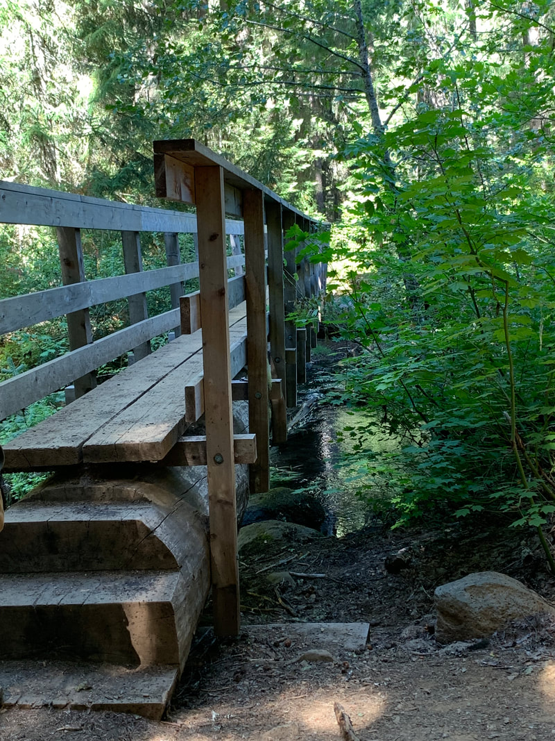
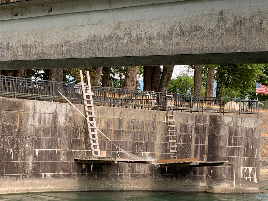
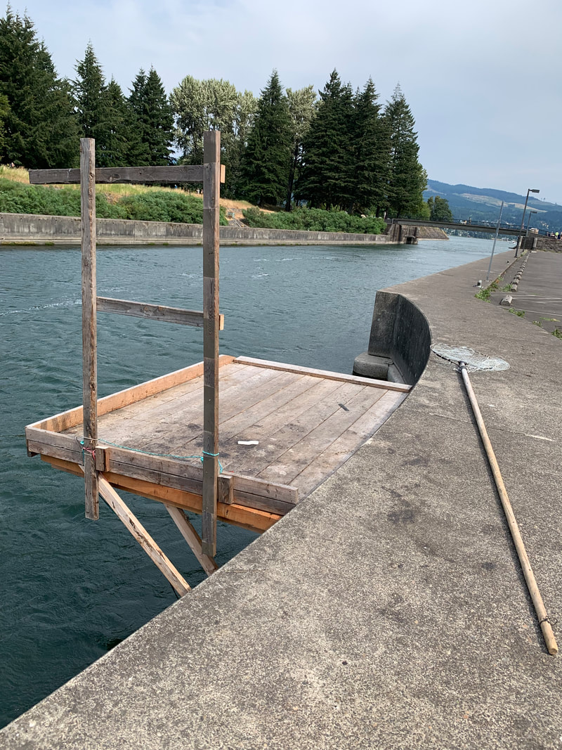
This was the view of the Wind River from the bridge we crossed.
Once again Strava fooled me with the mileage. Of course we had more roads to cross before reaching Panther Creek Campground.
One reason for being close to hitting the wall about 3-4 miles from the end is perhaps due to not stopping and eating and drinking some electrolytes. I tend to focus on the finishing and instead I need to stop and get some much needed nutrition in me in order to finish the hike and not feel exhausted by the end.
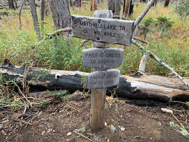
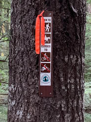
Our next sections are out of sequence. We plan to hike the Herman Creek Pinnacles area of the PCT and then check out PCT days. And then our next hikes will be two trails at Mt. Rainier.
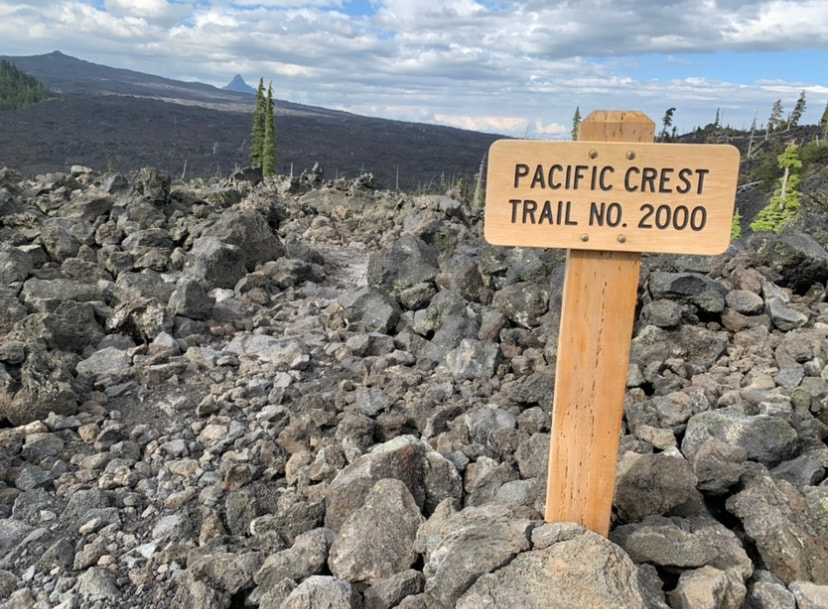
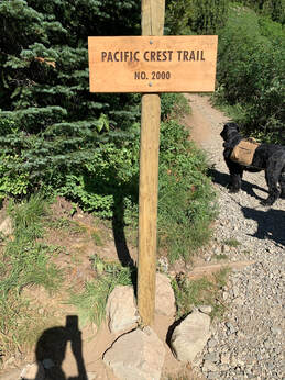
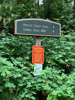
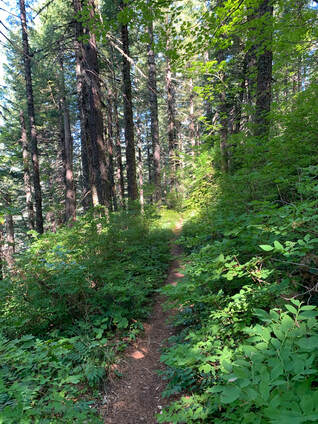
On Aug. 6th Bob and I took on the second section of our section hike of the PCT. It took us 1 1/2 hrs to park our cars at Rock Creek Rd where it crosses the PCT and at Panther Creek Campground 15.5 miles away. We started our walk at Rock Creek Rd.
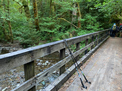
We crossed Rock Creek on the bridge meeting thru-hikers filtering water and taking in the view. Our next crossing was Snag Creek.
Snag Creek was not a big Creek at this time of the year. Crossing this creek I realized the tread on my Altra Lone Peak boots were slipping. The tread was good but as I stepped onto a wet boulder my footing was not secure. On the loose rocks I noticed this too.
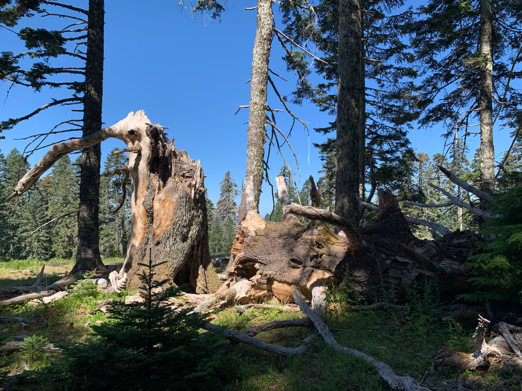
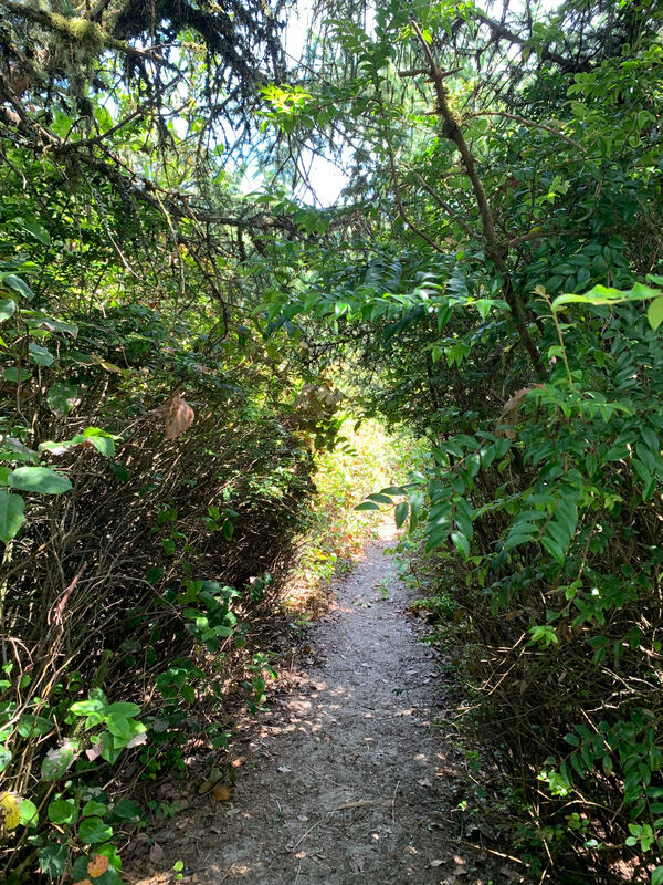
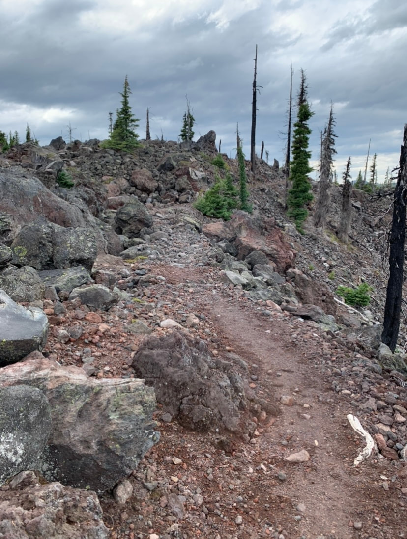
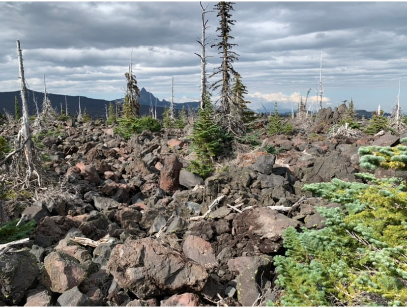
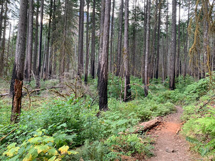
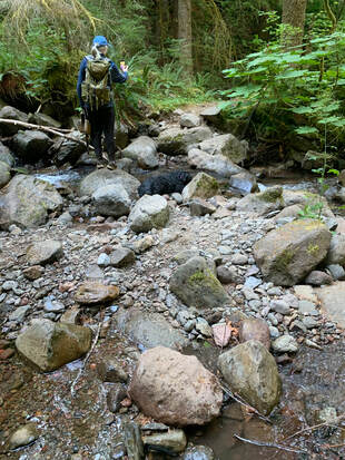
The above is a photo taken along the trail. We didn't get more than three miles into the trail when I tripped on something and plummeted to the ground my nose making perfect contact on a small sharp rock. I heard cartilage crunch so lying on my side I reached for my bandana to stop my nose from bleeding. Nothing bled. I sat up feeling a bit dazed, my nose was scratched a bit, it didn't bleed and luckily for me nothing was broken. The humorous aspect of my fall was me groping around for my glasses and Bob telling me I was still wearing them.
My confidence was shaken and I felt more comfortable hiking back to Rock Creek instead of going forward. I was being overly cautious. Bob agreed and so we decided to do this section again within a couple of weeks.
When we drove to Panther Creek we found trail angels, Oakley and Birdbath doing trail magic. Some thru-hikers were enjoying campchairs, fresh fruit, soda and a chance to relax and talk. Oakley and Birdbath had completed the PCT in an earlier year.
Trail names are part of the fun of Long Distance thru-hiking, We met many and some of the trail names were Misplaced, Four Shirts, Tacos and Happy Fate.
I don't know if section hikers get trail names. I wanted mine to be Scout but Bob thinks Hardnose is a much more appropriate trail name for me. I haven't come up with a name for him yet.
A friend of mine in the volkswalking community wants to section hike the PCT Trail in WA and asked if I would want to do this too. I am giving it some serious consideration.
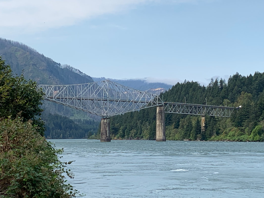
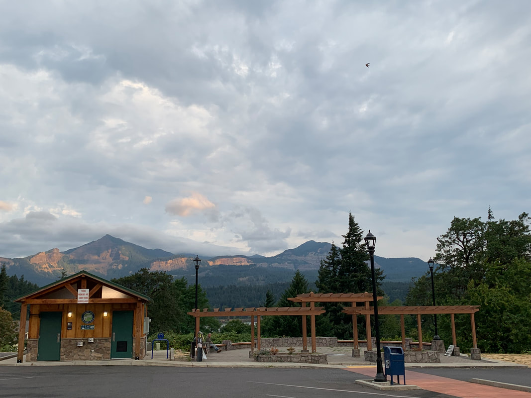
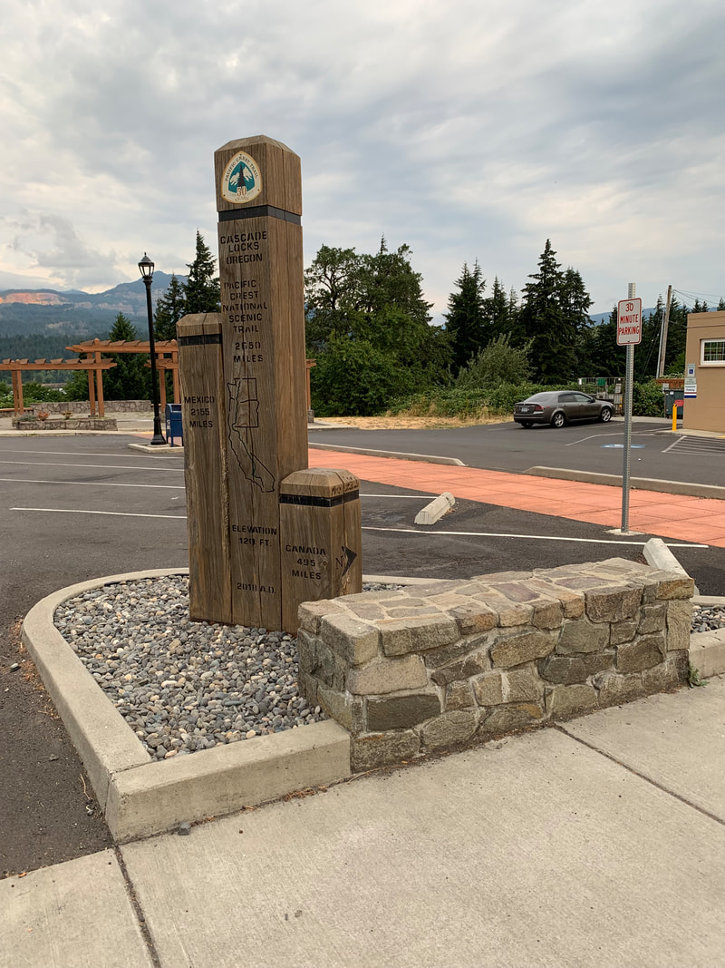
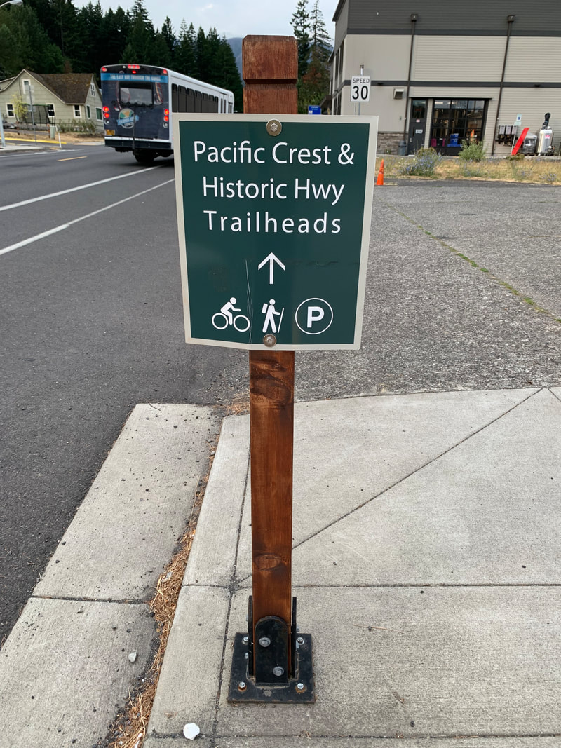
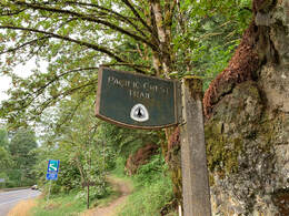
On Sunday morning (July 24th) we met at the parking lot by the Bridge of the gods off of SR14. We dropped off a car where the PCT crossed CG-2000 Rd near Rock Creek and then parked the other car where we started in the parking lot. It was 7:30am when we began walking.
I was prepared. I made sure to eat a hearty breakfast. A bowl of oatmeal seemed like it would sustain me for a few hours. I carried 12oz of an electrolyte Nuun drink plus 100oz of water in a CamelBak. It was my first time using one and I am convinced it kept me hydrated as I sipped and walked. I carried medical supplies, an emergency blanket, flashlight, food, mapping apps etc... I let a friend know where I was going and sent him a photo of myself with what I was wearing on the hike. I knew this was not going to be an easy hike and I have heard of too many people who go missing in the Columbia Gorge each year.
I had some personal concerns because I hadn't walked a long distance since Covid in 2019 nor had I carried a heavy daypack for many years.
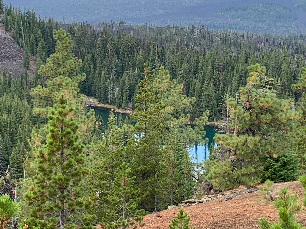
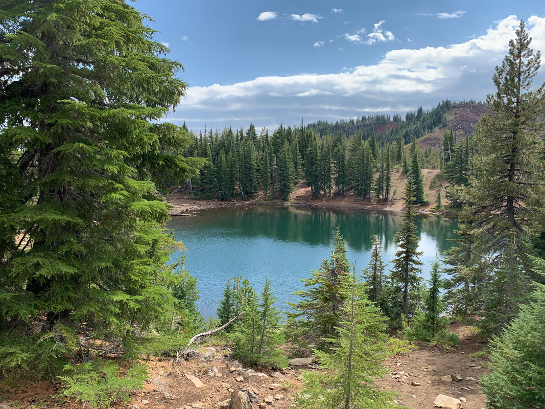
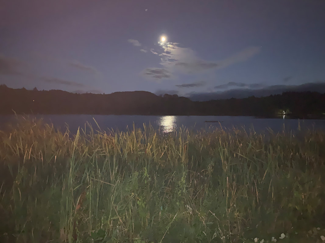
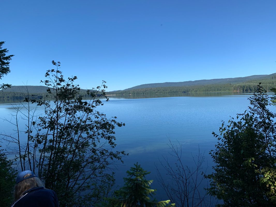
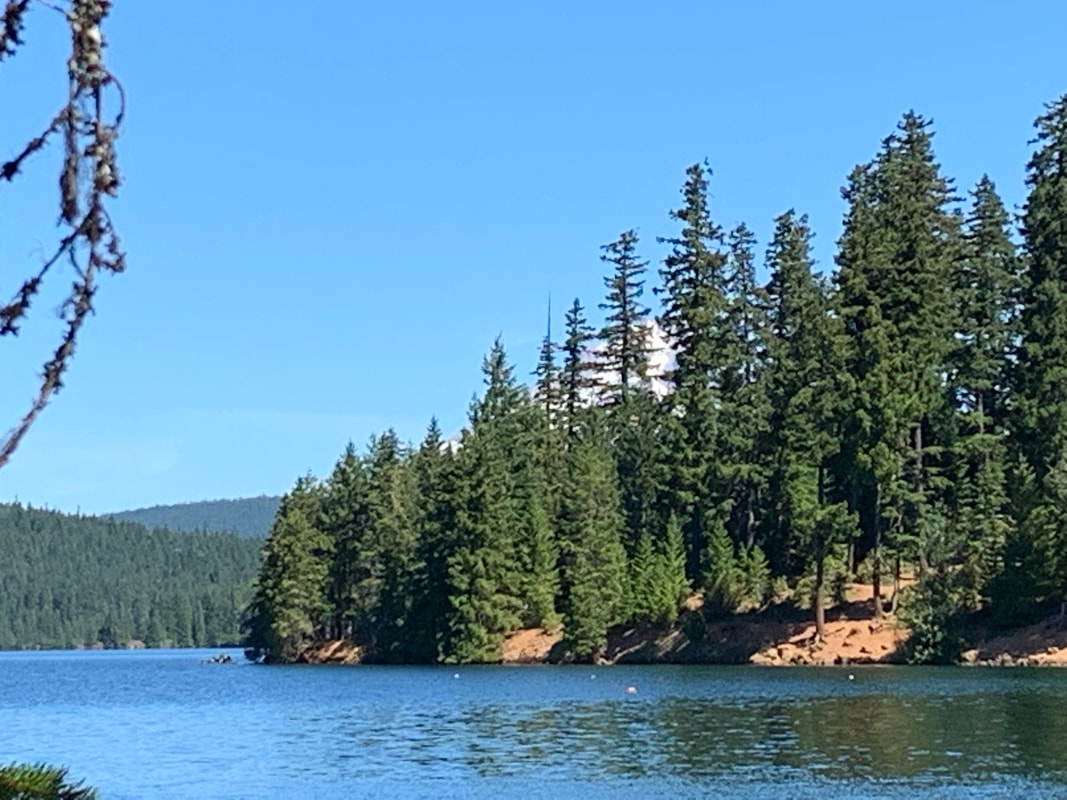
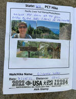
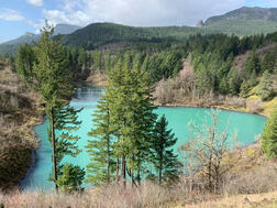
The walk to Gillette Lake was easy. (This is a photo of Gillette Lake from a previous trip)
On Sunday morning (July 24th) we met at the parking lot by the Bridge of the gods off of SR14. We dropped off a car where the PCT crossed CG-2000 Rd near Rock Creek and then parked the other car where we started in the parking lot. It was 7:30am when we began walking.
I was prepared. I made sure to eat a hearty breakfast. A bowl of oatmeal seemed like it would sustain me for a few hours. I carried 12oz of an electrolyte Nuun drink plus 100oz of water in a CamelBak. It was my first time using one and I am convinced it kept me hydrated as I sipped and walked. I carried medical supplies, an emergency blanket, flashlight, food, mapping apps etc... I let a friend know where I was going and sent him a photo of myself with what I was wearing on the hike. I knew this was not going to be an easy hike and I have heard of too many people who go missing in the Columbia Gorge each year.
I had some personal concerns because I hadn't walked a long distance since Covid in 2019 nor had I carried a heavy daypack for many years.
The walk to Gillette Lake was easy. (This is a photo of Gillette Lake from a previous trip)
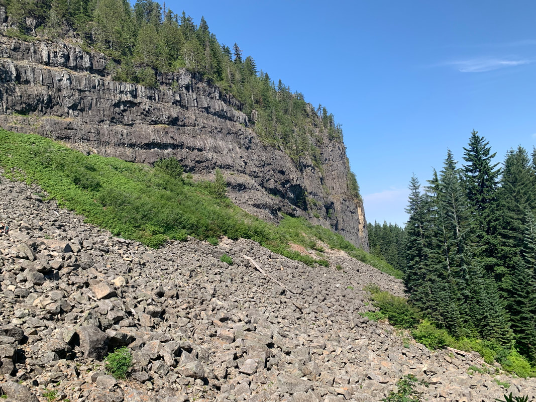
I had heard of Table Mountain and I knew it was a steep hike but I wasn't thinking of the elevation gain that we had ahead of us. By the end of the hike we had gained 4657 feet. We were climbing for most of the 19 mile hike.
We spent alot of time hiking around Table Mountain and the slopes. We climbed switchbacks and rock slopes.
We spent alot of time hiking around Table Mountain and the slopes. We climbed switchbacks and rock slopes.
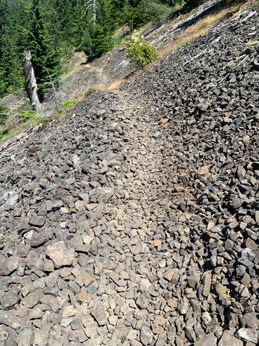
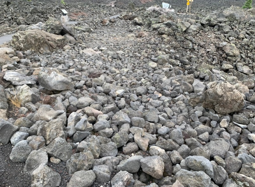
We crossed about 15 of these slopes with the rocks. And as the day dragged on the temperature climbed. I only know it was above the 90's. We reached a point where we discovered that there was a 10 mile section without a water source.
In my mind I had that 'aha' moment. I really understood how easily hikers go on a hike in the Gorge and seriously underestimate the trail length, elevation and weather. We were at the halfway point and just in the beginning of the waterless stretch and the consequences of our decision could be the difference between a successful trip or being rescued. We pushed on and took our time.
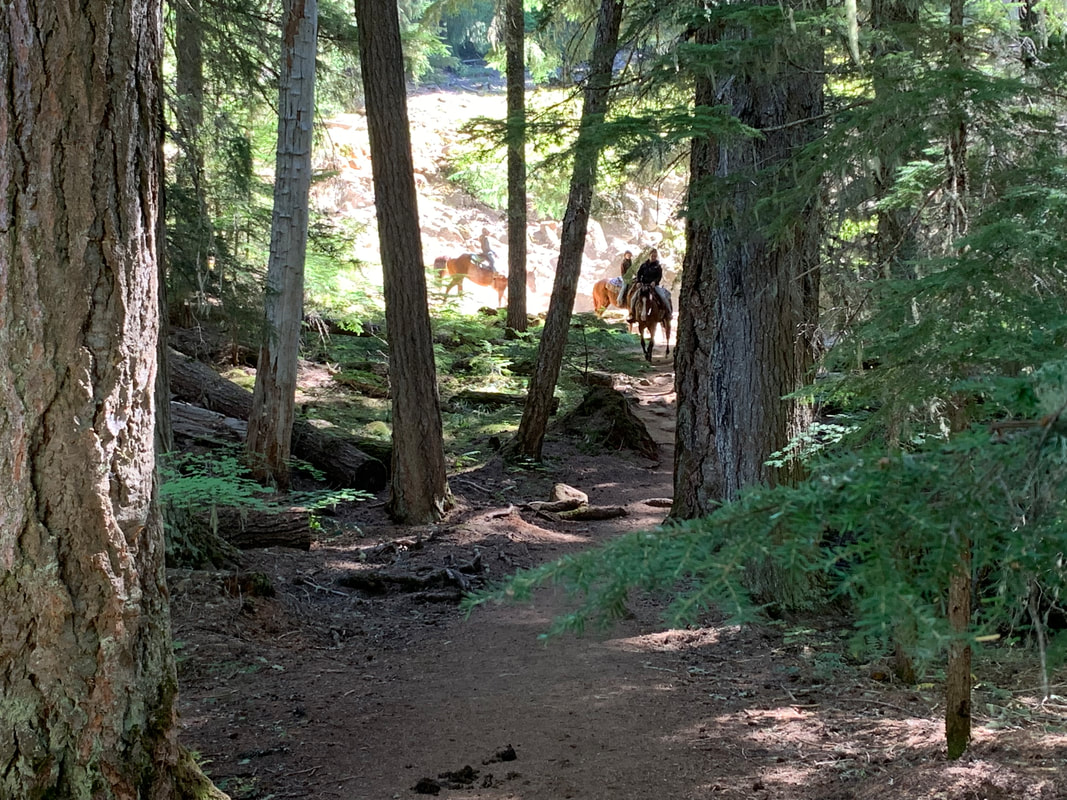
We met section hikers and thru-hikers which was fun. One woman said she had hiked 33 miles the previous day and was doing 19 the day we met her. I think the thru-hikers kept us motivated.
My friend had his dog and had to share his water with his dog. Not having water for 10 miles became more critical as the day wore on.
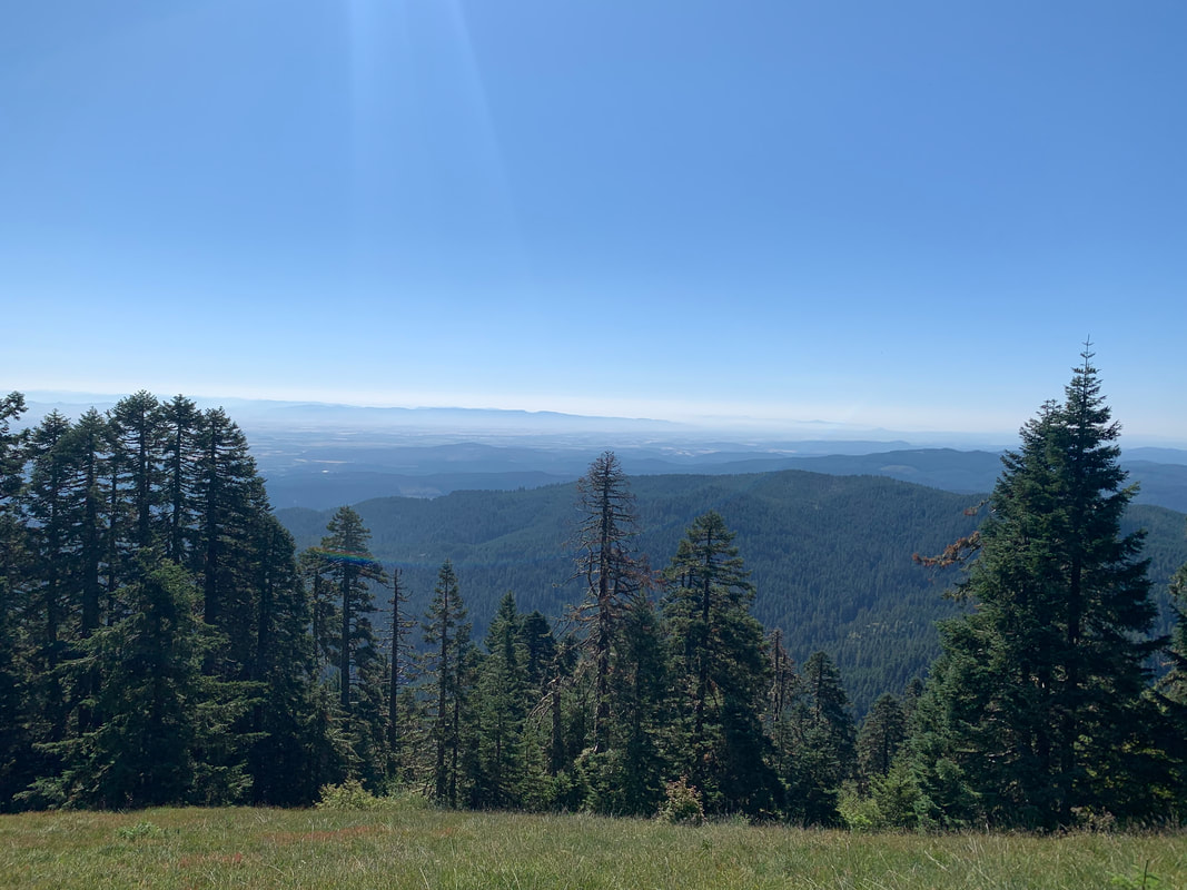
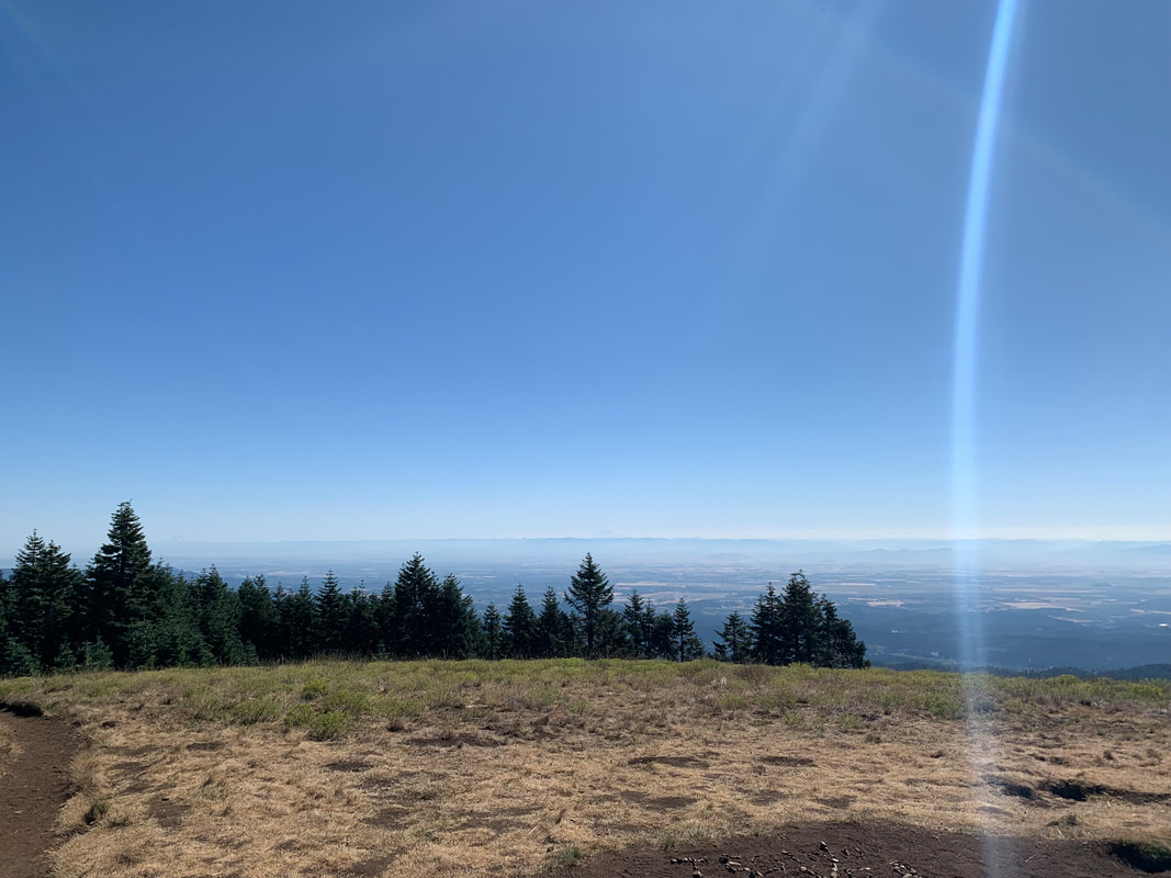
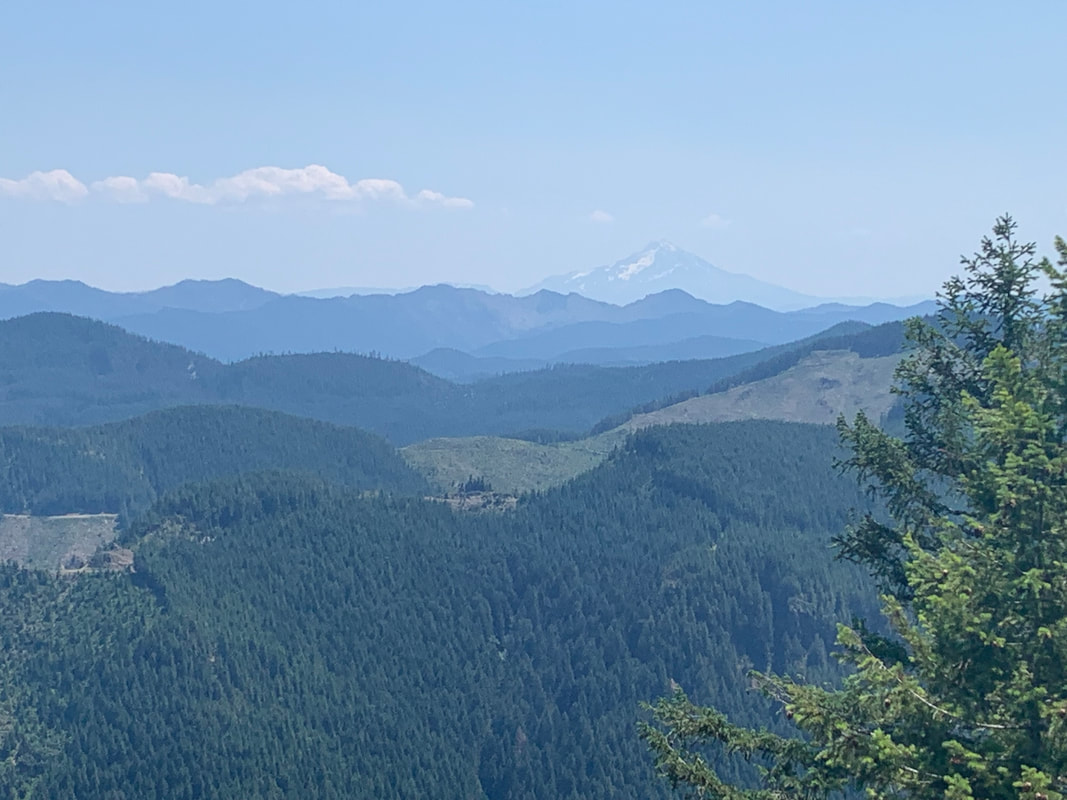
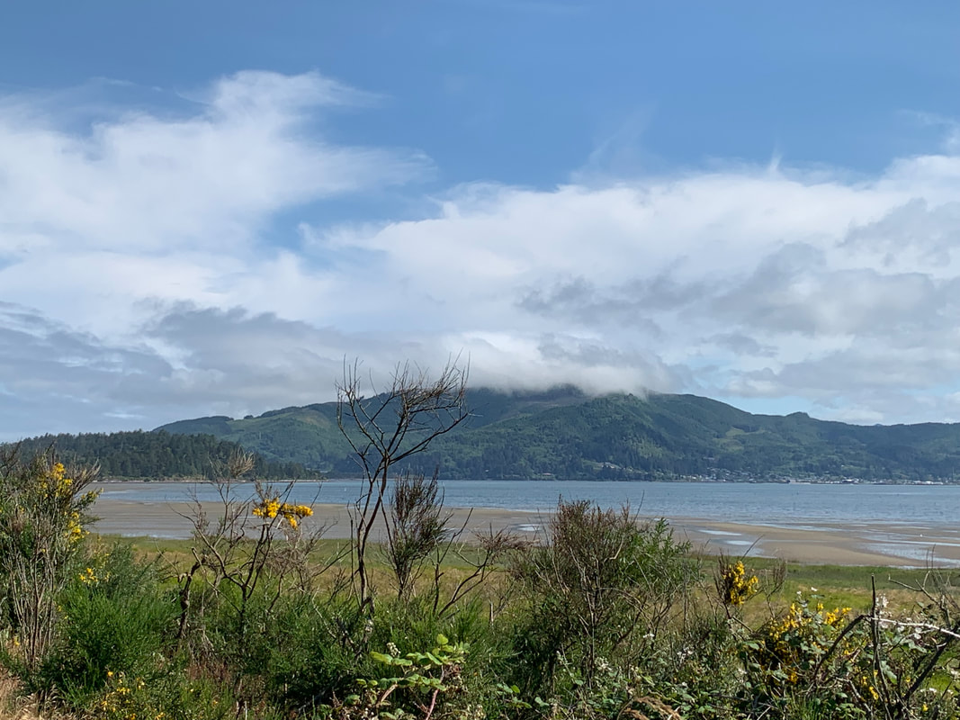
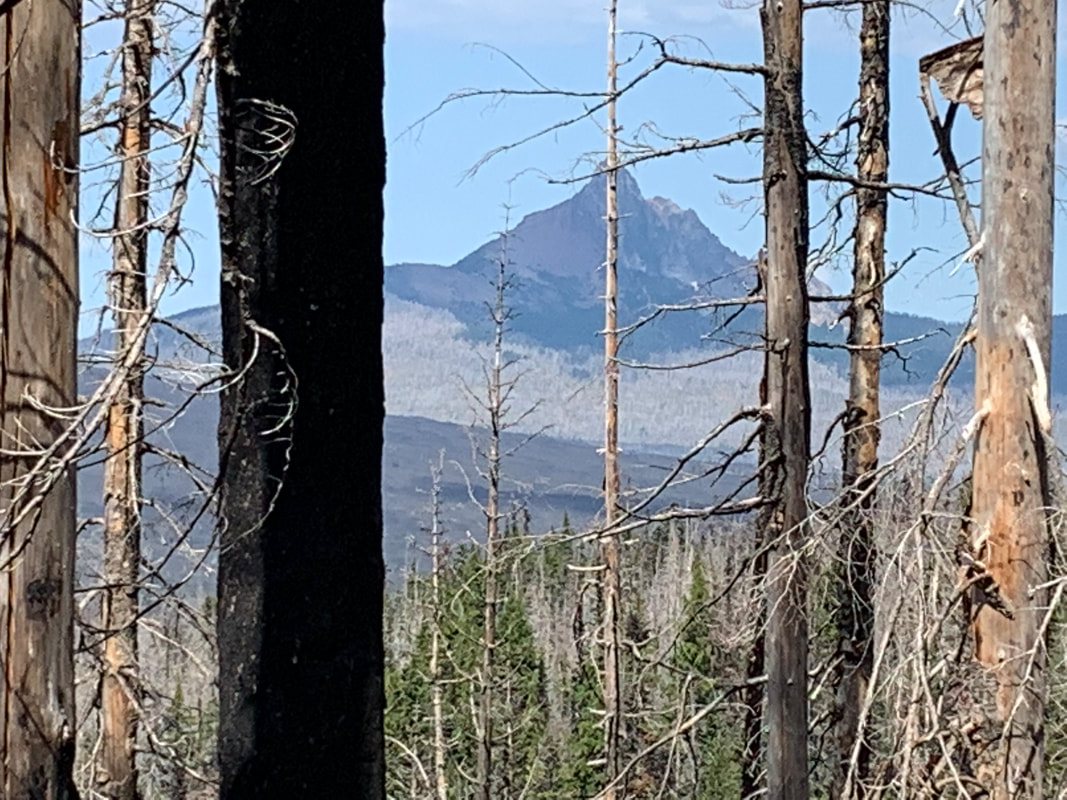
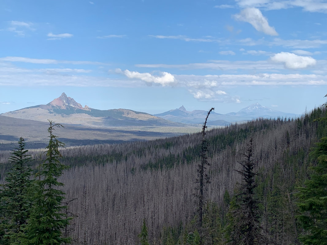
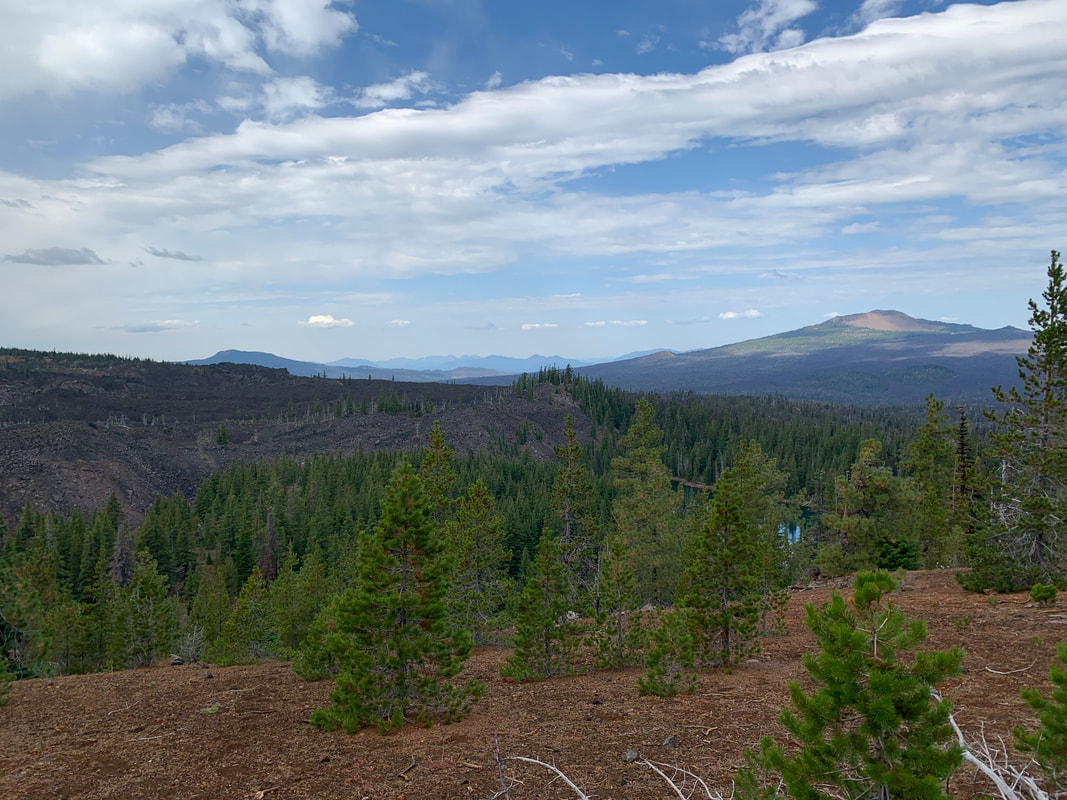
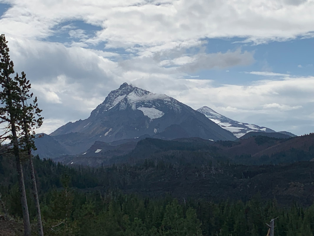
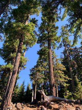
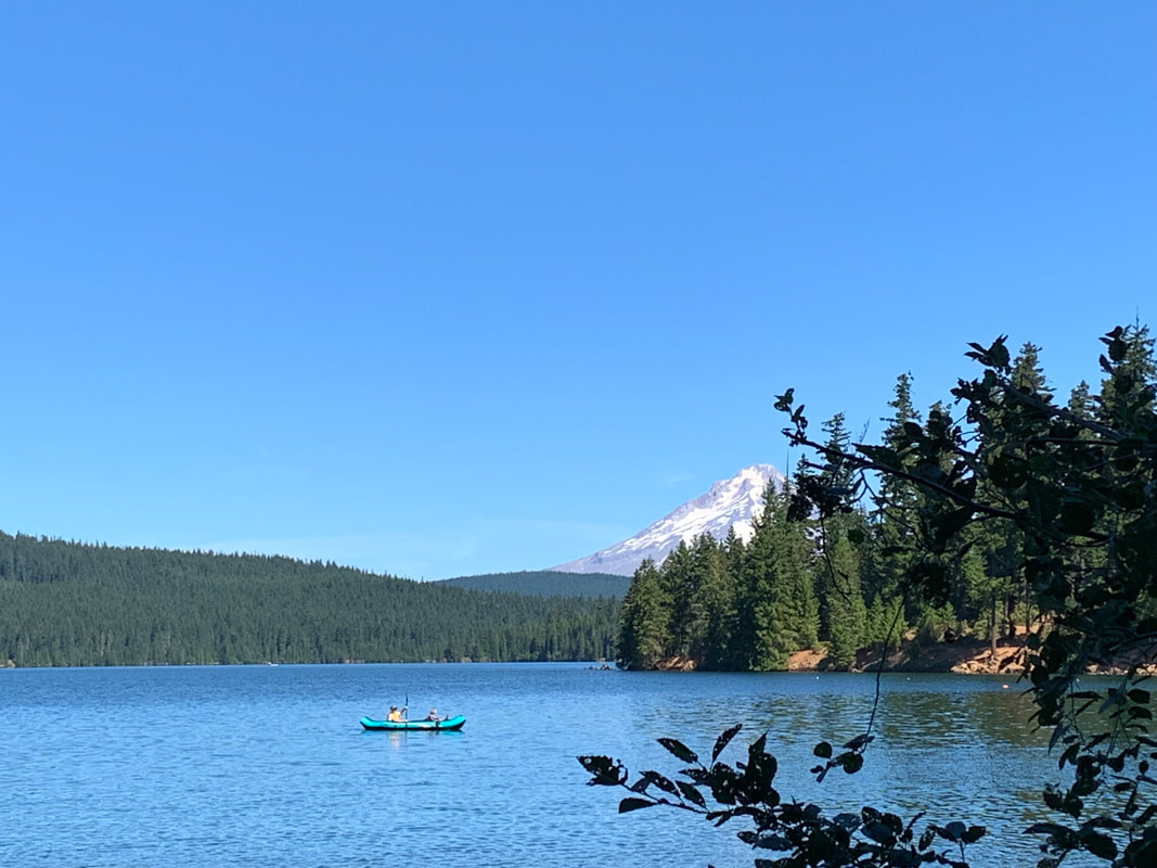
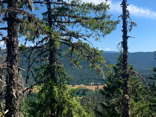
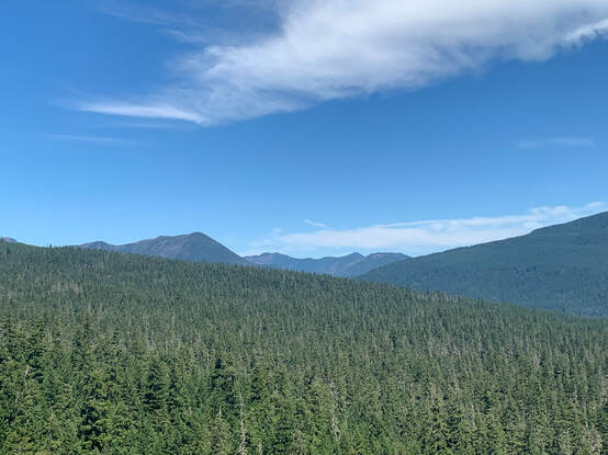
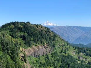
The PCT is as gorgeous as it is brutal. The views were stunning. At times we could look over to views of Bonneville Dam and then further along we had views of Mt Adams, Mt St Helens and even Mt Rainier. Mt Hood too.
In my mind I had that 'aha' moment. I really understood how easily hikers go on a hike in the Gorge and seriously underestimate the trail length, elevation and weather. We were at the halfway point and just in the beginning of the waterless stretch and the consequences of our decision could be the difference between a successful trip or being rescued. We pushed on and took our time.
We met section hikers and thru-hikers which was fun. One woman said she had hiked 33 miles the previous day and was doing 19 the day we met her. I think the thru-hikers kept us motivated.
My friend had his dog and had to share his water with his dog. Not having water for 10 miles became more critical as the day wore on.
The PCT is as gorgeous as it is brutal. The views were stunning. At times we could look over to views of Bonneville Dam and then further along we had views of Mt Adams, Mt St Helens and even Mt Rainier. Mt Hood too.
We both relied on STRAVA to mark our distance so it was disappointing when around 5:30pm I had reached the 18.5 mile mark and according to the maps we had another 3 miles to walk. PCT has it as an 18 mile stretch or 19 according to what books one reads. STRAVA had 21.47 miles when we finished our hike.
What I learned from that is not to assume STRAVA is correct in reporting mileage.
It was an amazing hike. We finished in 9hrs and 34 minutes.
I was tired since my day had begun around 4:30am but the next day I felt good except for a blister. I wore Altra Torins and I think my feet were beat up a bit on the rocky slopes. I have Altra hiking shoes and I think my next hike I will wear those instead. I am reassured that section hiking the PCT in WA is doable.
WALKING A MARATHON
I began power walking about four years ago. I had been a runner (jogger, really). I spent a lot of time in the gym using exercise equipment, lifting light weights and attending group fitness classes. Over time, I began feeling aches and pains, specifically my knees. This was not unexpected as years of pounding in high impact activities would surely lead to wear and tear injuries, but I didn’t want these issues to progress to surgery later on. I decided to switch to power walking and quickly became obsessed.
I had always wanted to complete a marathon. One day while walking, I thought “Why not walk a marathon?!” I registered for a marathon not far from where I lived. I had been increasing speed and distance as my walking progressed. I never entertained the thought that I might not finish the marathon. I had no idea what to expect but was eager.
On marathon day, I felt enthusiastic. I experienced a little anxiety, but that was mostly related to concerns about where to park, how to dress for the weather, etc. I got caught up in the crowd’s excitement as start time approached. Participants were chatting while stretching and warming up. The colorful athletic wear, upbeat music, cheering spectators and overall energy were stimulating. I was ready.
I started out near the back of the group. (I learned later that this is a good spot as participants are bottled-necked in front.) I was pumping my arms and walking fast. I passed some runners (!) and felt even more confident that I would not only finish but also perform well. Along the way, many folks asked “Are you going to walk the entire race!?” I was not the only walker. Of course, I felt fatigued after a lot of miles. My back and feet were aching. I stopped at some hydration stations, and I had a pocket full of peanuts (and I kept thinking about my post-race reward of donuts!). I said “good job” to fellow participants as I moved forward, and it felt important to thank the wonderful spectators. Around miles 16 & 20, I “hit the wall” which means that I felt worn out. I rallied. I looked around as I walked, noticing nature and interesting things. Fast forward (really fast walking!), I crossed the finish line. I felt great mentally, emotionally and, yes, physically. I had done it! My mantra had been “have a good time” (referring to a fun experience, not a clock time). I will say that after 5 hours, 32 minutes of walking, the crowd at the finish line had thinned as most competitors, especially the elite runners, had completed their race long before me. However, there were plenty of participants still crossing the finish line, and I quickly moved to the fence to cheer them on.
I returned home and, within a few days, signed up for my next marathon. I have now completed 26 marathons and counting! Just about anyone can do this! It’s simple: Put on some comfy sneakers and baggy clothes and just start walking!
Young autistic Watertown resident completes personal quest to walk every street (Article link below)
9/1/2020
This is the article written by Phoebe Gray on Aug 18, 2020
https://watertown.wickedlocal.com/news/20200818/young-autistic-watertown-resident-completes-personal-quest-to-walk-every-street?fbclid=IwAR3BykG1s6r-ypsFF5hiGhu5PElo65eqsUQts_1SGBBDmwqBvblJu48T8SI
https://watertown.wickedlocal.com/news/20200818/young-autistic-watertown-resident-completes-personal-quest-to-walk-every-street?fbclid=IwAR3BykG1s6r-ypsFF5hiGhu5PElo65eqsUQts_1SGBBDmwqBvblJu48T8SI
There are numerous walking/running apps that record your routes. Many offer free versions. Along with the mapping apps came a new trend on making GPS art from walks.
Have you ever looked at your route after a walk and thought there was a design or a picture of something that you created on your walk?
Now you can learn about GPS art and create walks that draw shapes.
The two articles are about runners who do GPS art. Swap walking for running and you're all set to do your own walking art walks.
The one article talks about the network of city streets as a palette for creating art. I think it is more like an Etch-a-Sketch since you can 'erase' your walk and do another design using the same streets.
How to Make GPS Art
Making Art on the Run? includes a video
Below is a YouTube video by John E. Hiker that I found really informative. He makes a good point that the Federal and State organizations et al that maintain trails have a limited budget. So bridges that wash out are not always being replaced in a timely fashion. Especially on more of the remote trails.
Knowing how to safely cross a river is an important skill for backpackers.
Some immediate take aways are to cross in the morning when snow fed rivers and streams are at their lowest. Wear shoes or waterproof socks or even wool socks to cross rivers. Rocks are slippery and you may lose your footing or injure yourself going barefoot.
Undo the straps on your pack both waist and sternum straps.
Use a pole or find a sturdy stick to use to probe the river as you cross and also as leverage to help you stay balanced and upright.
It is challenging to keep up with all the people who are walking across the United states to raise awareness for causes. I try to follow and find as many as I can but I know I am not inclusive of everyone.
I really do find much of my information from links on Facebook and my own google searches. This morning I read a post from a friend in Denver Colorado about Peter Munson's walk across the United States.
Peter is walking across the US to raise awareness for children in need.
6 Million Steps for Kids has the information about his journey and the charities he is working with to raise money.
From my friend's post it looks like he is near Denver Colorado today. His journey is from East to West.
Scout
I am an avid walker and hiker. My favorite is a long hike. I also enjoy taking off and going on a meandering walk for a few hours. I've hiked rim to rim in the Grand Canyon and I did 3 Burning Boot Walks on Vancouver Island.
I am also a graduate of the 2017 America Walks College Fellowship.
Archives
August 2023
July 2023
June 2023
January 2023
December 2022
October 2022
August 2022
July 2022
January 2021
September 2020
April 2020
October 2019
August 2019
July 2019
May 2019
April 2019
February 2019
December 2018
October 2018
June 2018
May 2018
April 2018
February 2018
November 2017
October 2017
September 2017
August 2017
May 2017
April 2017
November 2016
June 2016
March 2016
February 2016
January 2016
December 2015
November 2015
October 2015
August 2015
 RSS Feed
