|
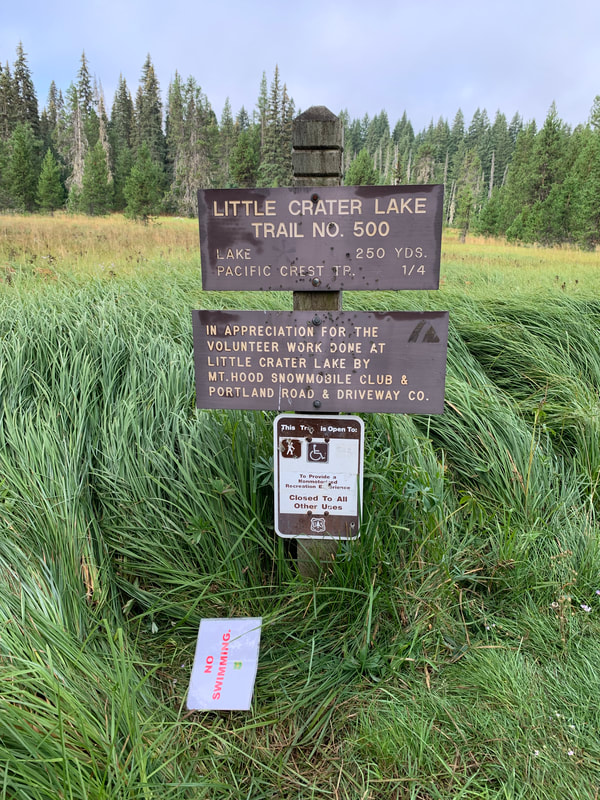
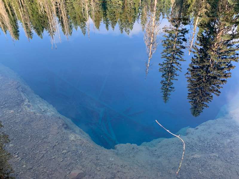
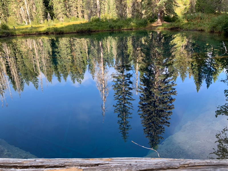
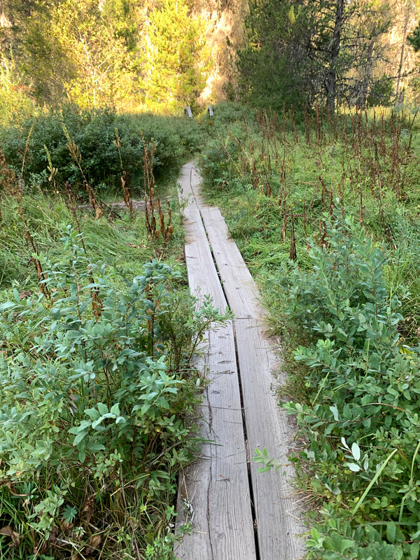
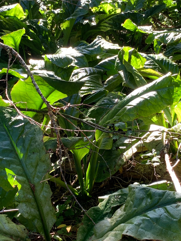
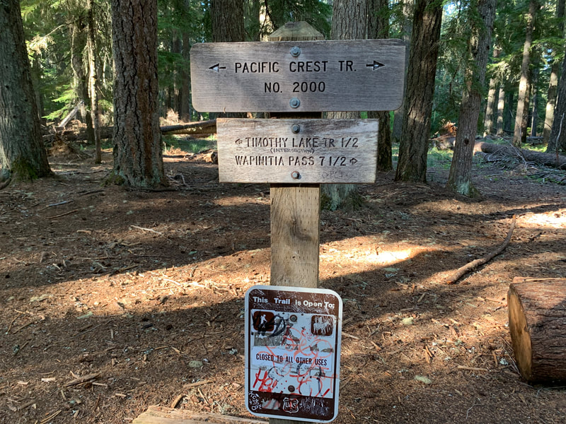
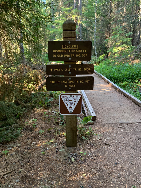
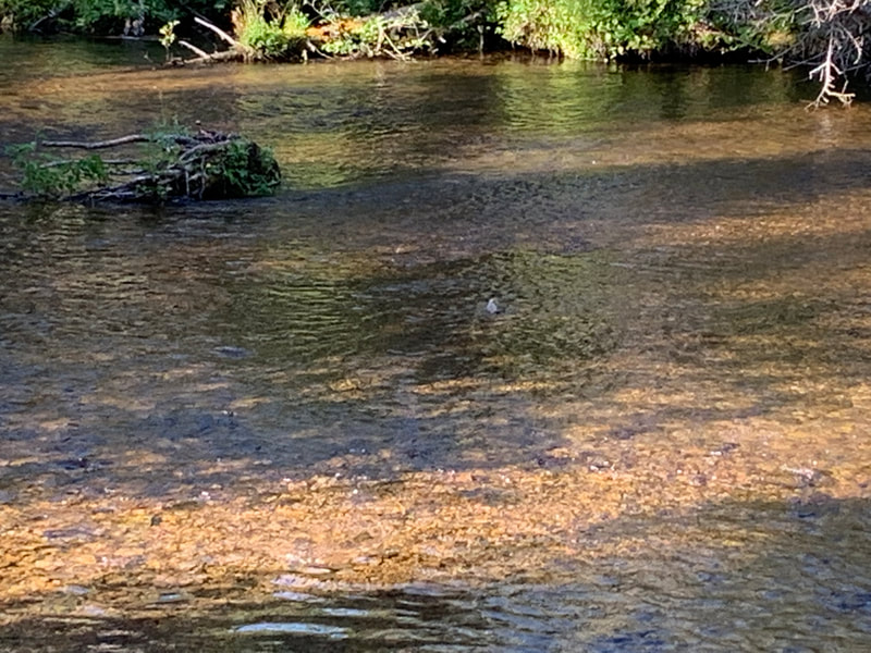
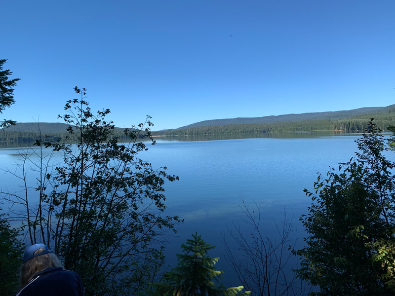
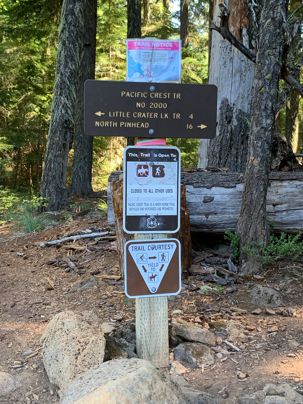
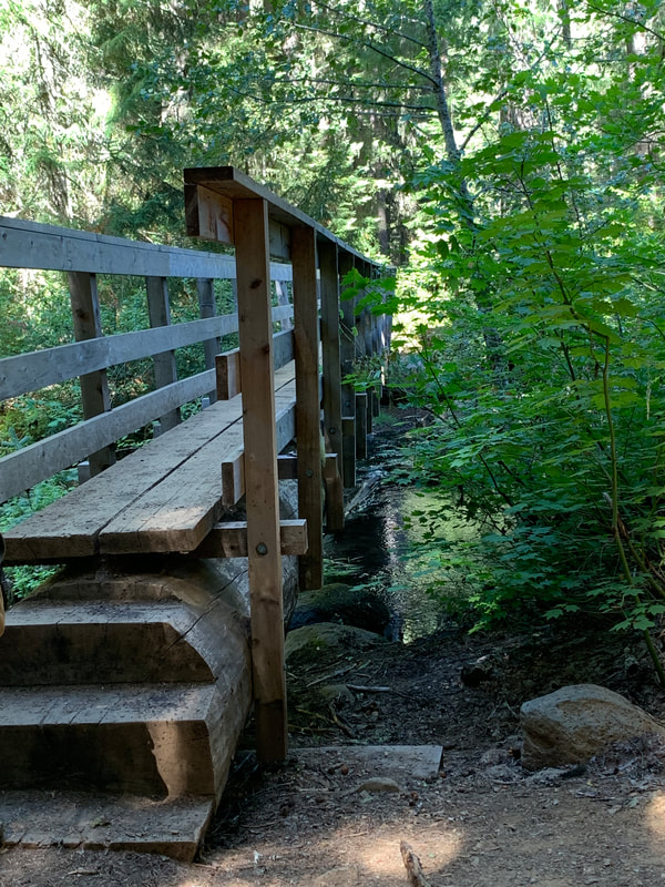
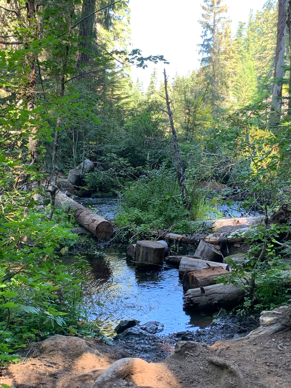
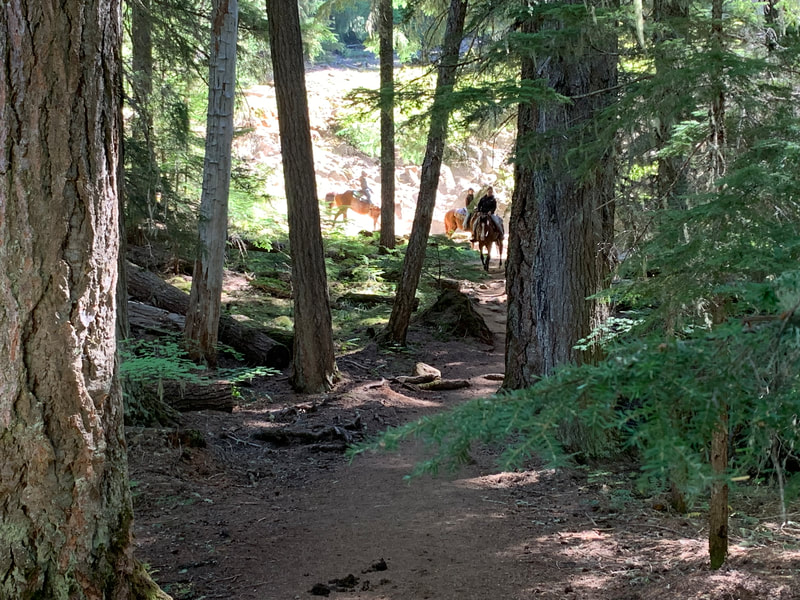
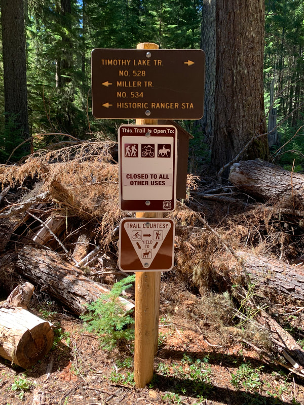
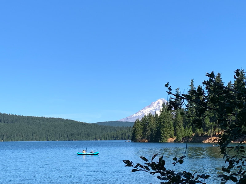
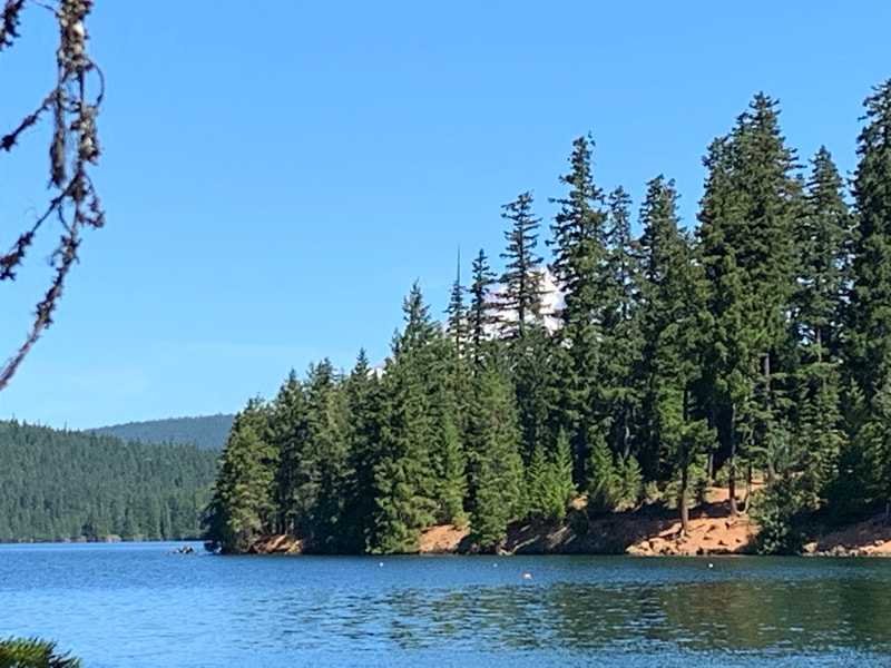
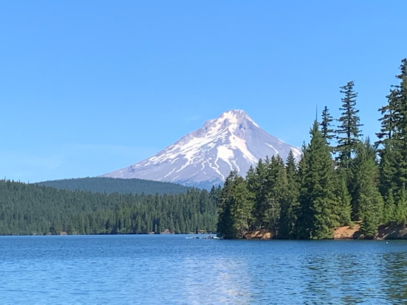
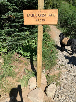
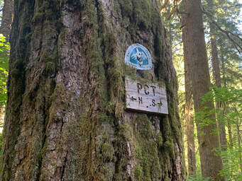
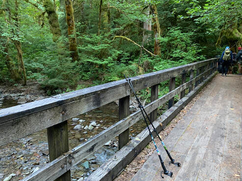
On Aug. 29th my hiking partner and I did a small section of the PCT and hiked around Timothy Lake. We started from the Little crater Lake Campground and went by Little Crater Lake. Left: Little Crater Lake trail sign, Looking into Little Crater Lake and the gorgeous reflection of the trees on Little Crater Lake. It is amazing and not very large. Surrounding the lake is a large meadow. We continued hiking on a boardwalk and dirt path until we reached the sign for the PCT and the Timothy Lake Trail. Along this section I found some huge Skunk Cabbage leaves. I remember being told that the Native tribes in Alaska used the leaves to wrap around salmon and then bake the salmon. I seem to have a passion for trail signs. This one marks the turn off for Timothy Lake. Says 15 miles by bike and then we later saw a sign that said 13 miles hiking. Between STRAVA and PCT books I am finding mileage to be a best estimate. We saw this American Dipper dipping and splashing in this pool of water. The little waterfall was on the other side of the bridge we crossed. It looks like a dot, we had fun watching the bird dip and splash. The other photo is of Timothy Lake, which has an interesting history as it is an artificial lake. Soon we went down a small rocky patch of trail and crossed the inlet to Timothy Lake. There was a footbridge and next to it there were some stumps and a log across the inlet and I did wonder if this was the old crossing before the bridge was built. We stopped for a short break and 3 horses came down to cross the inlet. A woman and two children on horses. She said she was training them to cross rivers. Before the inlet there was a trailhead sign to North Pinhead. Looked like another hike for another day! We came across another trailhead for a future hike. Miller Trail. The best views were of Mt Hood and Timothy Lake. I took a photo of Mt Hood peaking between the trees until we saw it across the lake in all of its majesty. We reached the other end of Timothy Lake and headed back to Little Crater Lake campground. This is a relatively flat trail with minor ups and downs on a mainly forested trail of dirt. There were some bikes and many campers and trail runners. we met one lady camping with two dogs and her cat. I'm not sure I would let my cat free range in a camp site. She said the cat hunts and brought her a dead chipmunk. That surprised me and I did wonder about the ethics of that. Towards the end of our hike I was very focused on a huckleberry shake at the Huckleberry Inn at Government Camp on my way home.
0 Comments
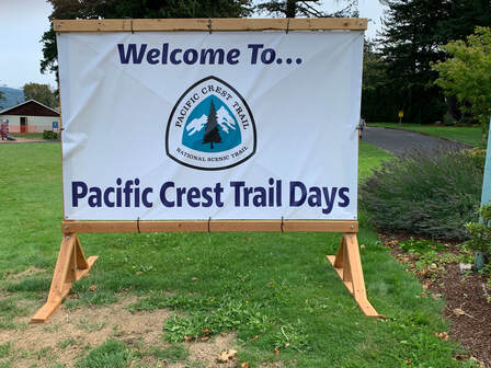
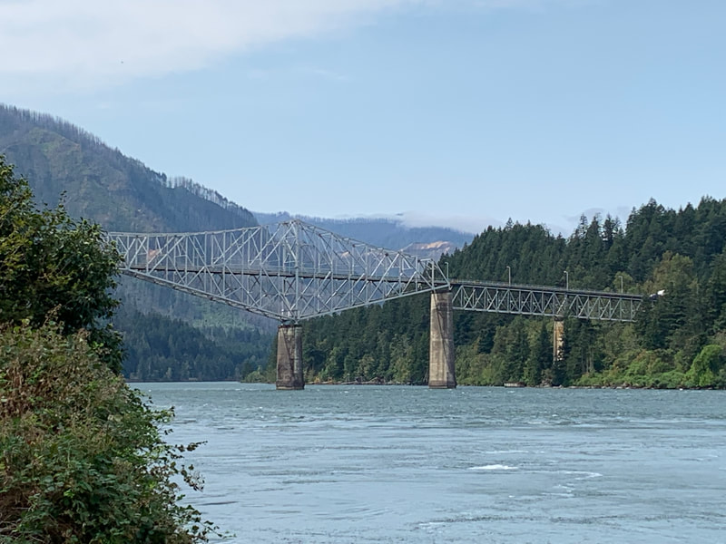
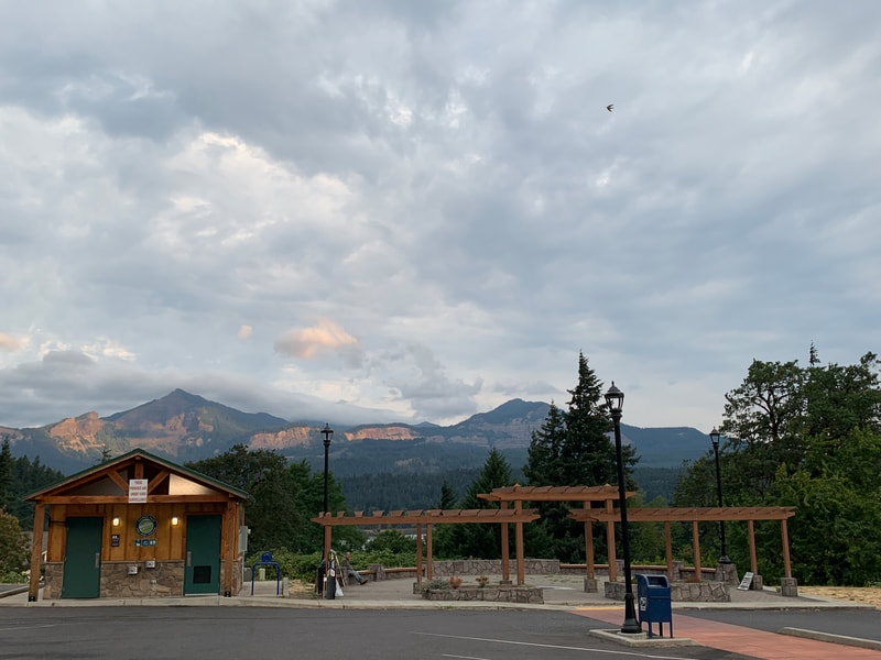
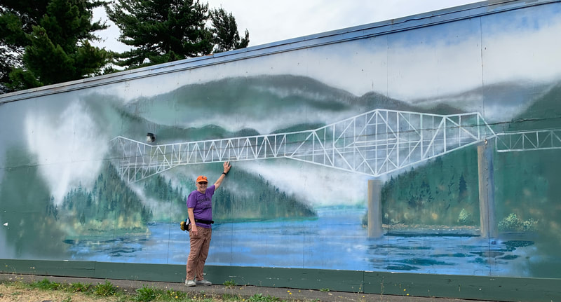
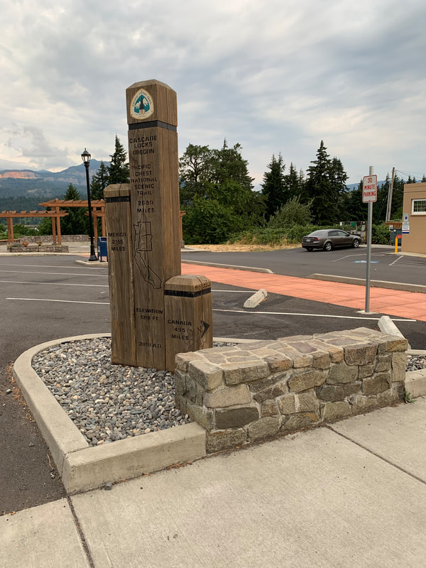
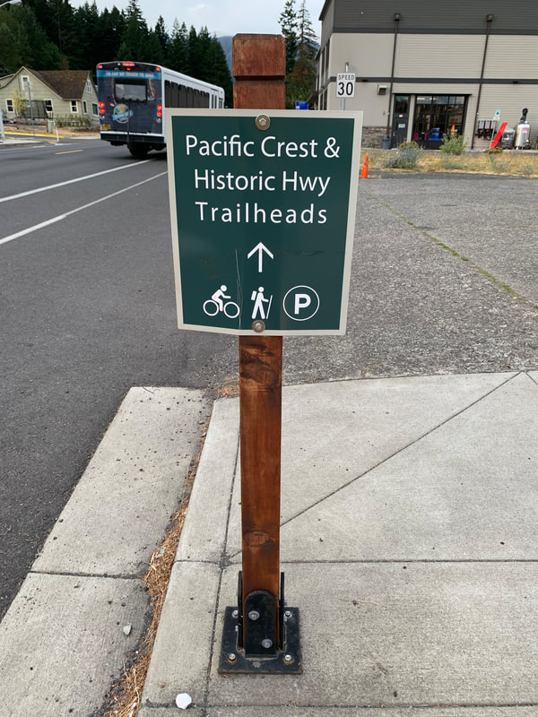
On Sunday Bob, Panda and myself hiked from Chinook Pass at Hwy SR410 to dewey Lake and back to the car. It was a long day as we were up around 4am to drive from Vancouver to Chinook Pass, hike and drive home. The downside to section hiking as day trips. This trail was really crowded too which really slowed us down. We met thru-hikers, and people out hiking for the day. I think I am a bit of a hiking snob as I am reminded of what hiking used to be like in the 70's - 90's when trails were much less crowded and people took hiking as a more serious endeavor. The attitude now is everyone is a hiker and hiking is no more serious than walking around your neighborhood. It's hard to really enjoy the views when people are surrounding you at the viewpoints. Plus constantly stopping to let people pass or to pass people along the trail. On the plus side hiking is more accessible to everyone. These were some photos I took from Wa Na Pa Street. The photo of the real bridge was taken from Marine Park towards the parking lot by the fishing area at Marine Park. I walked around Marine Park waiting for PCT Days to open. I didn't take any photos of the area with all the booths and food trucks.
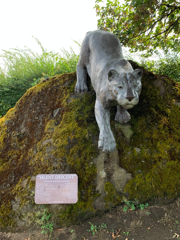
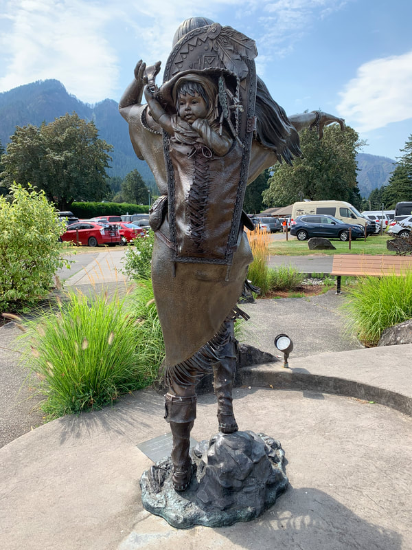
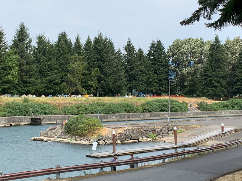
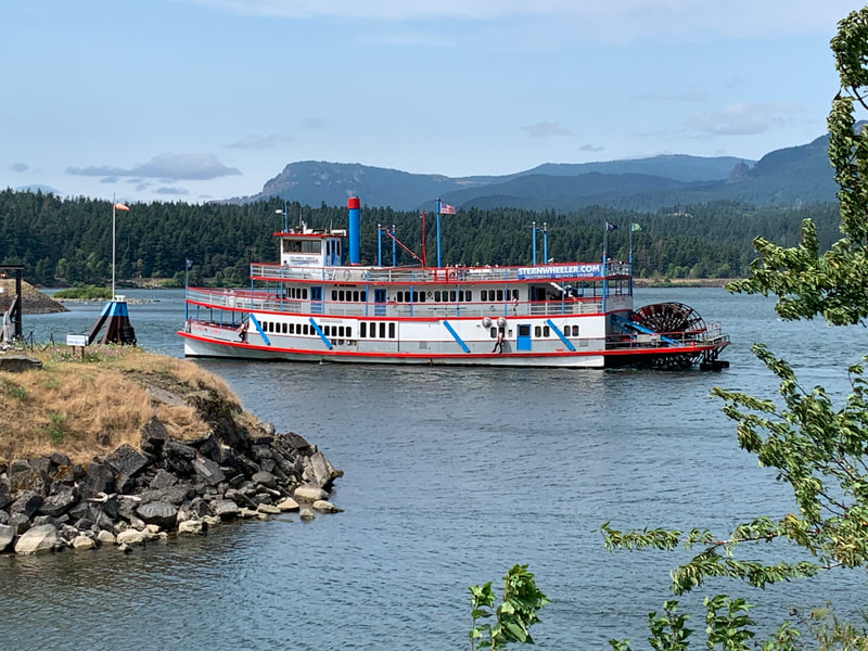
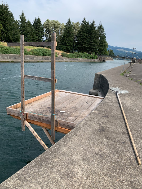
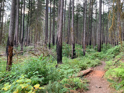
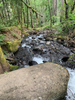
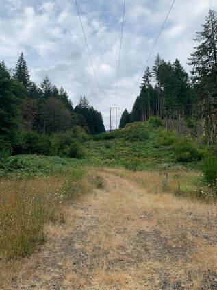
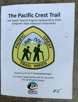
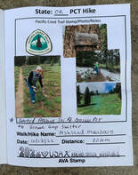
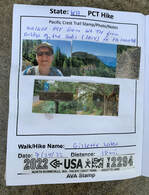
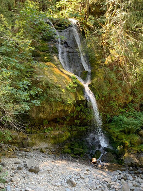
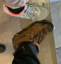
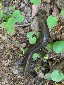
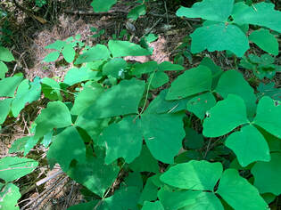
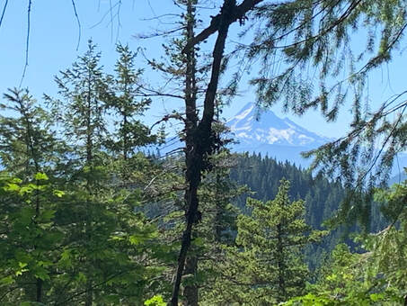
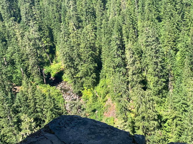
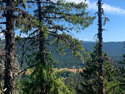
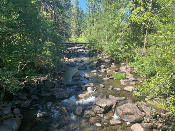
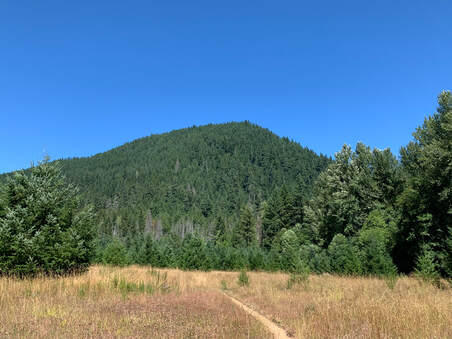
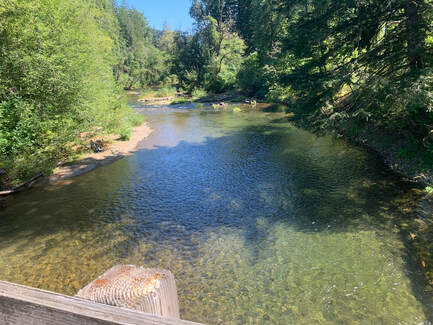
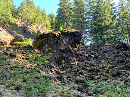
There is a statue of a cougar and Sacajawea carrying her papoose. The Sternwheeler was returning from a tour. I took two photos of tribal fishing platforms that are used by the Native Americans who fish for salmon on the Columbia River. I sat on the rocky protuberance. Thunder Island is in the background where the thru-hikers could camp for free during PCT Days. PCT Days has many vendors selling everything from books to dehydrated food, stoves, tents, backpacks etc... I stopped by Next Adventure and was fitted for some insoles for my Altra trail shoes. The person who fitted my foot knew what he was talking about. I met Liz 'Snorkel' Thomas who advocated Thru-hiking your city and is a long distance hiker. That was cool. I always enjoy meeting and talking to people who I feature on my website. I bought a couple of books from Mountaineers Books as they had them marked down to $10 per book. As a section hiker I looked at the latest and lightest gear. I have my backpacking gear from probably the early 90's. Remember the inflatable Thermarest pad? You open the valve and it inflates on it's own. It was an enjoyable event. A great gathering of thru-hikers who used this time to rest, catch up with their hiker friends and eat. I headed home in the late afternoon. On Friday Aug. 19th Bob and I hiked the short section of the PCT from the Bridge of the gods trail sign to the bridge that is off of Dry Creek Rd. Our goal was Dry Creek Falls and then back to Cascade Locks to check out the PCT Days event in Cascade Locks later that day. My last time on this trail was before the Eagle Creek Fire in 2017. This is what it looks like now. 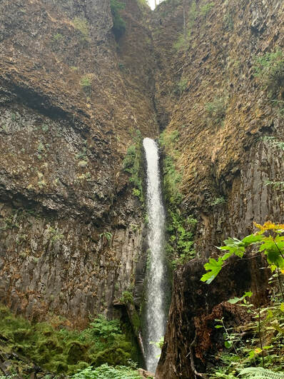 This was our goal. To walk to Dry Creek Falls. 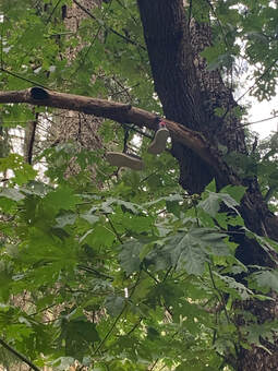 This is what is left of the famous 'shoe tree' near Dry Creek Falls. It used to have more larger branches with many more trail shoes hanging from the branches. I only saw one pair of shoes this time. Below is a photo of Dry Creek. I took some photos of the berries that I found as we headed back to Cascade Locks. We hiked back along Dry Creek Road. It does get dry and grassy on the way back to town! 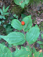 Fairy Bells (Prosartes hookeri) 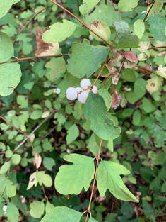 Snowberry also known as Waxberry. I am a very active member of the AVA (American Volkssport Association dba America's Walking Club. At a multi-day walk event held in Ashland OR our AVA President who lives in WA worked diligently to create a PCT hiker challenge book and sanctioned sections of the Pacific Crest Trail for volkswalkers and anyone else who is interested in the AVA to walk. Or check out my.ava.org to sign up for an account. . My friend Bob, had never hiked on the PCT before and he had this vision of section hiking the PCT in WA, eventually doing the entire PCT. We've walked together before on long hikes so he asked me if I was interested in doing this with him. I said yes. Why Now? Every year in September the AVA fund raises and is part of the Big Give. The AVA tries to raise enough money through donations, campaigns and match donations. Bob and I along with his dog Panda are hiking the PCT and asking people to pledge money to support the AVA. We are calling this The Big Walk. We hope to raise money to keep the AVA organization strong. So that's why we decided to section hike the PCT. It may take us a few years but it is a worthy goal. So far my 'take' on the PCT is it is as stunning as it is brutal! I confess I do not know the name of these falls but they are on CG2000 Rd. It seems to be a popular area for folks to access by car. On Aug 14th Bob and I went back to hike from Rock Creek Rd to Panther Creek Campground. We were able to skip the first mile and a half of the PCT by parking on CG2070 which crosses the PCT. A side note we both bought new shoes to hike in. Bob bought Merrell hiking boots and I went back to the Lone Peak trail shoe. The newer models do not have the velcro to attach the Dirty Girl Gaiters to. I don't know why Altra discontinued that on the new model of the Lone Peak. This time I brought along a walking stick that I have had since the 1980's. Something that my exhusband found on one of our backpacking trips and he stained the wood and put a rubber cap on the bottom. (I only dropped it seven times while we hiked!). When we were dating and I was on a seven week trip to Alaska, Harry attempted to section hike the PCT around Kennedy Meadows. His feet were blistered and a doctor told him not to do the hike so he never did get back to the PCT, I used the stick and liked to think he appreciated that I am doing this hike. I also wore my tee shirt from my walk relay team, The Vintage Whine Walkers. Our team captain is very energetic and involved in many activities but feels thru-hiking the PCT is beyond her reach now. It feels like she is hiking with me when I wear the shirt. (She and I watch America Ninja Warrior when it's on and we text each other during the show since we are not watching it together). Not 100% sure but I think this is a banana slug. We saw many of these along this section of the PCT. Slowly some of my knowledge of identifying plants is returning to me. This is Vanilla Leaf also called Deer Foot. This segment was much easier, thus more enjoyable. Our total elevation gain for the hike was 2368 ft. There was a break in the trees and we got a view of Mt. Hood. Then we hiked and found an amazing viewpoint looking way down into a ravine with a river. There was a rock outcrop that was perfect for sitting on and eating our lunch. 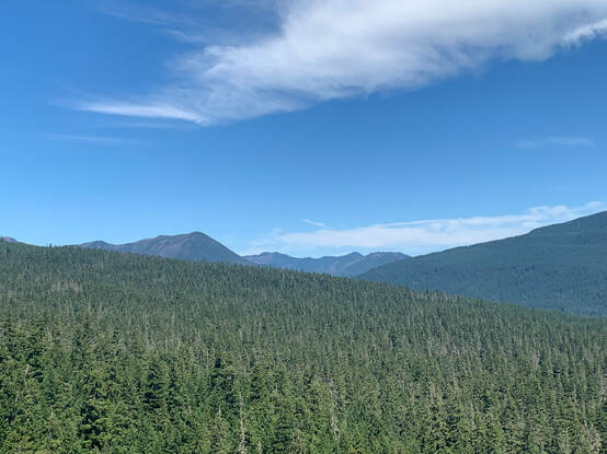 After lunch we continued hiking and came across NB thru-hikers who told us about trail angel magic at Trout creek. The word gets passed up and down the trail and the hikers hike a little faster to get to the trail angels before the food and drink runs out. I don't recall their names but they too had thru-hiked the PCT in a previous year. Below is a photo of Trout Creek. This is a photo of Bunker Hill. I have previously hiked to the top This was the view of the Wind River from the bridge we crossed. Once again Strava fooled me with the mileage. Of course we had more roads to cross before reaching Panther Creek Campground. One reason for being close to hitting the wall about 3-4 miles from the end is perhaps due to not stopping and eating and drinking some electrolytes. I tend to focus on the finishing and instead I need to stop and get some much needed nutrition in me in order to finish the hike and not feel exhausted by the end. Our next sections are out of sequence. We plan to hike the Herman Creek Pinnacles area of the PCT and then check out PCT days. And then our next hikes will be two trails at Mt. Rainier.
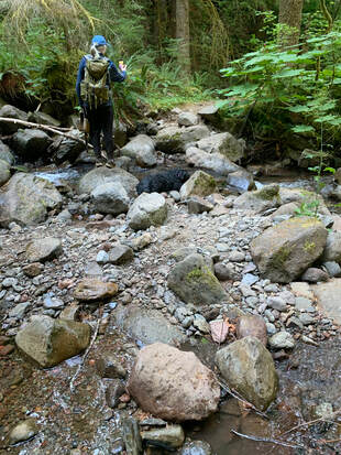
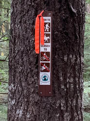 On Aug. 6th Bob and I took on the second section of our section hike of the PCT. It took us 1 1/2 hrs to park our cars at Rock Creek Rd where it crosses the PCT and at Panther Creek Campground 15.5 miles away. We started our walk at Rock Creek Rd. We crossed Rock Creek on the bridge meeting thru-hikers filtering water and taking in the view. Our next crossing was Snag Creek. Snag Creek was not a big Creek at this time of the year. Crossing this creek I realized the tread on my Altra Lone Peak boots were slipping. The tread was good but as I stepped onto a wet boulder my footing was not secure. On the loose rocks I noticed this too. The above is a photo taken along the trail. We didn't get more than three miles into the trail when I tripped on something and plummeted to the ground my nose making perfect contact on a small sharp rock. I heard cartilage crunch so lying on my side I reached for my bandana to stop my nose from bleeding. Nothing bled. I sat up feeling a bit dazed, my nose was scratched a bit, it didn't bleed and luckily for me nothing was broken. The humorous aspect of my fall was me groping around for my glasses and Bob telling me I was still wearing them.
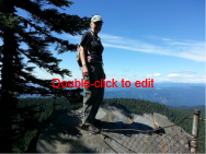
My confidence was shaken and I felt more comfortable hiking back to Rock Creek instead of going forward. I was being overly cautious. Bob agreed and so we decided to do this section again within a couple of weeks. When we drove to Panther Creek we found trail angels, Oakley and Birdbath doing trail magic. Some thru-hikers were enjoying campchairs, fresh fruit, soda and a chance to relax and talk. Oakley and Birdbath had completed the PCT in an earlier year. Trail names are part of the fun of Long Distance thru-hiking, We met many and some of the trail names were Misplaced, Four Shirts, Tacos and Happy Fate. I don't know if section hikers get trail names. I wanted mine to be Scout but Bob thinks Hardnose is a much more appropriate trail name for me. I haven't come up with a name for him yet. |
ScoutI am an avid walker and hiker. My favorite is a long hike. I also enjoy taking off and going on a meandering walk for a few hours. I've hiked rim to rim in the Grand Canyon and I did 3 Burning Boot Walks on Vancouver Island. Archives
August 2023
Categories |
- About
- Home
- AGING & HIKE/WALKING
- Blog
- Books
- Bridges
- Calendars & Events
- Competitive Walking
- Contact Form
- Flaneur
- Gear
- Hiking with Kids
- Indoor Walking
- Labyrinth
- Long distance hiking
- Nature
- Nordic Walking
- Orienteering
- Pilgrimage
- Rucking
- Seek and find while walking
- Stairs
- State Info
- Training & Health
- Volkswalking
- Walkability
- Walk - Hike Resources
- Walking history
- Walk, Roll, Stroll
- Walking info history

 RSS Feed
